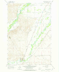
1962 Map of Beaverhead Rock
USGS Topo · Published 1978About this map
The Big Hole River and Beaverhead River converge in this high-plains landscape, where complex irrigation systems define the valley's settlement patterns. Elaborate water rights are etched into the map through family-named infrastructure such as the Balkovetz Giem Standvich Whiting Ditch, Bokum Lawyer Ditch, and Seidensticker Ditch. These networks supported early agricultural operations across the Bench and around the Island.
Find a feature on this map
43 named features on this map. Tap any name to fly to it.
Don’t see what you’re looking for? This feature index may not catch every label — zoom into the map to look around manually.
Map Details
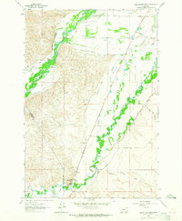
Editions of this 1962 Beaverhead Rock Map
2 editions found
Other maps of this area

1893 · Dillon
USGS Topo · 1:250,000

1955 · Dillon
USGS Topo · 1:250,000

1957 · Dillon
USGS Topo · 1:250,000

1958 · Dillon
USGS Topo · 1:250,000

1960 · Block Mountain
USGS Topo · 1:24,000

1960 · Twin Bridges
USGS Topo · 1:62,500

1961 · Glen SE
USGS Topo · 1:24,000

1961 · Nez Perce Hollow
USGS Topo · 1:24,000

1961 · Beaverhead Rock SE
USGS Topo · 1:24,000

1962 · Dillon
USGS Topo · 1:250,000