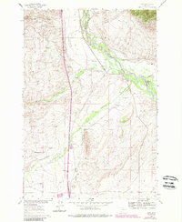
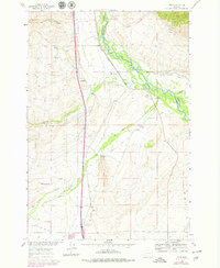
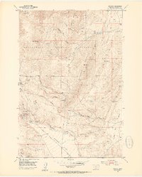
1960 Map of Glen
USGS Topo · Published 1989About this map
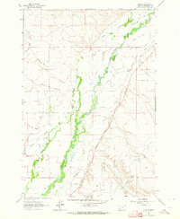
The Big Hole River winds through this Montana landscape, defining the border between Beaverhead Co and Madison Co. Near the settlement of Glen, the river's path is flanked by a complex system of irrigation infrastructure, including the Burma Road and numerous waterways such as the Buhrer Garrison Ditch and Mantle Ditch. This reliance on water management reflects the region's ranching heritage, with family-named sites like Mantle Ranch and Selvo Ranch established along the drainage basins of Willow Creek and Birch Creek.
Find a feature on this map
32 named features on this map. Tap any name to fly to it.
Don’t see what you’re looking for? This feature index may not catch every label — zoom into the map to look around manually.
Map Details
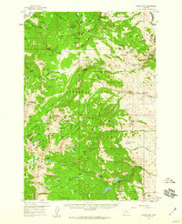
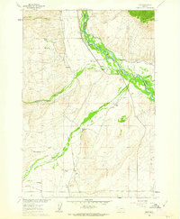
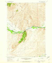
Editions of this 1960 Glen Map
4 editions found
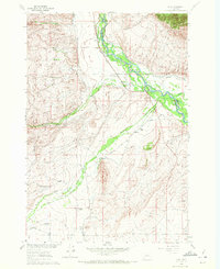
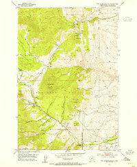
Other maps of this area

1893 · Dillon
USGS Topo · 1:250,000
1952 · Twin Adams Mountain
USGS Topo · 1:24,000
1952 · Argenta
USGS Topo · 1:24,000

1955 · Dillon
USGS Topo · 1:250,000

1957 · Dillon
USGS Topo · 1:250,000

1958 · Dillon
USGS Topo · 1:250,000
1958 · Vipond Park
USGS Topo · 1:62,500
1960 · Glen
USGS Topo · 1:24,000
1960 · Block Mountain
USGS Topo · 1:24,000
1961 · Glen SE
USGS Topo · 1:24,000