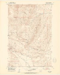
1960 Map of Glen
USGS Topo · Published 1979About this map
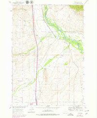
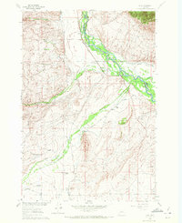
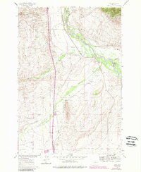
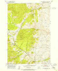
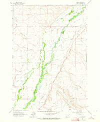
The Big Hole River winds through this landscape, defining a valley carved by water and irrigation in southwestern Montana. The Union Pacific railroad line runs parallel to the river, connecting small points like Glen and Apex that served as vital links for the ranching and mining operations in the surrounding hills. This area is heavily defined by its complex irrigation network, including the Kalsta Ditch, Mantle Ditch, and Buhrer Garrison Ditch, which redirected water to support family operations like the Mantle Ranch and Selvo Ranch. Education was localized and dispersed, with the Reichle Sch, Buhrer Sch, and Birch Creek Sch positioned to serve families scattered across the canyon and creek bottoms. Evidence of early industry remains visible through a Prospect Mine and several gravel pits, while the Haining Cem provides a genealogical touchstone for those tracing the history of these high-country settlements.
Find a feature on this map
35 named features on this map. Tap any name to fly to it.
Don’t see what you’re looking for? This feature index may not catch every label — zoom into the map to look around manually.
Map Details
Editions of this 1960 Glen Map
4 editions found
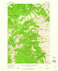
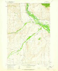
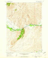
Other maps of this area

1893 · Dillon
USGS Topo · 1:250,000
1952 · Twin Adams Mountain
USGS Topo · 1:24,000
1952 · Argenta
USGS Topo · 1:24,000

1955 · Dillon
USGS Topo · 1:250,000

1957 · Dillon
USGS Topo · 1:250,000

1958 · Dillon
USGS Topo · 1:250,000
1958 · Vipond Park
USGS Topo · 1:62,500
1960 · Glen
USGS Topo · 1:24,000
1960 · Block Mountain
USGS Topo · 1:24,000
1961 · Glen SE
USGS Topo · 1:24,000