
1961 Map of Dewey
USGS Topo · Published 1964About this map
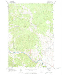
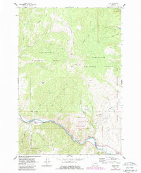
Big Hole River winds through the southern portion of this landscape, marking the transition between Beaverhead National Forest and Deerlodge National Forest. The settlement of Dewey sits along the river's northern bank, where industrial and infrastructure history is evident in the presence of the Big Hole Dam and the Big Hole Pumping Sta. An Aqueduct and the Old Grade Railroad trace the valley floor, suggesting the importance of water management and transport for the local mining or ranching economy in the mid-20th century.
Find a feature on this map
41 named features on this map. Tap any name to fly to it.
Don’t see what you’re looking for? This feature index may not catch every label — zoom into the map to look around manually.
Map Details
Editions of this 1961 Dewey Map
3 editions found
Other maps of this area

1893 · Dillon
USGS Topo · 1:250,000

1955 · Dillon
USGS Topo · 1:250,000

1957 · Dillon
USGS Topo · 1:250,000

1958 · Dillon
USGS Topo · 1:250,000

1958 · Vipond Park
USGS Topo · 1:62,500

1961 · Melrose
USGS Topo · 1:24,000
1961 · Burnt Mountain
USGS Topo · 1:24,000
1961 · Dickie Peak
USGS Topo · 1:24,000

1961 · Butte South
USGS Topo · 1:62,500

1961 · Wise River
USGS Topo · 1:24,000