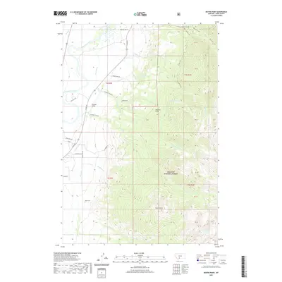
2020 Map of Dexter Point
USGS Topo · Published 2020About this map
Paradise Valley occupies the western lowlands where the Yellowstone River flows northward, providing a stark contrast to the high peaks of the Absaroka Range to the east. This 2020 survey documents the complex water management and topographic transition of Park County, showing the Paradise Canal cutting through the valley floor while numerous drainages like McDonald Cr and Strawberry Cr descend from the mountains. Genealogists and local researchers will find the Shorthill Cem and Magee Cem positioned near the base of the foothills, marking the early settlement history of the area. Much of the eastern half is protected within the Gallatin National Forest, where landmarks such as Dexter Point and George Lake punctuate the high-elevation wilderness. The map also traces the modern road network, including E River Rd and George Creek Rd, which link the valley's residential pockets to the surrounding backcountry.
Find a feature on this map
51 named features on this map. Tap any name to fly to it.
Don’t see what you’re looking for? This feature index may not catch every label — zoom into the map to look around manually.
Map Details
Editions of this 2020 Dexter Point Map
This is the sole edition of this map. No revisions or reprints were ever made.
Other maps of this area

1891 · Livingston
USGS Topo · 1:250,000

1893 · Livingston
USGS Topo · 1:250,000

1940 · Mt. Cowen
USGS Topo · 1:62,500

1943 · Mt Cowen
USGS Topo · 1:62,500

1947 · Bozeman
USGS Topo · 1:250,000

1948 · Bozeman
USGS Topo · 1:250,000

1951 · Brisbin
USGS Topo · 1:24,000

1951 · Livingston Peak
USGS Topo · 1:24,000

1951 · Chimney Rock
USGS Topo · 1:24,000

1955 · Bozeman
USGS Topo · 1:250,000