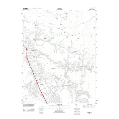
2012 Map of Diablo
USGS Topo · Published 2012About this map
San Ramon and Danville anchor this 2012 survey, illustrating the dense suburban expansion into the foothills of the Diablo Range. The transition from established residential communities like Alamo Oaks and Green Valley to the planned luxury developments of Blackhawk is clearly visible. The landscape is defined by its deep canyons and ridges, including Emmons Canyon and Black Hawk Ridge, which separate the residential valleys from the higher peaks of the northern range.
Find a feature on this map
67 named features on this map. Tap any name to fly to it.
Don’t see what you’re looking for? This feature index may not catch every label — zoom into the map to look around manually.
Map Details
Editions of this 2012 Diablo Map
This is the sole edition of this map. No revisions or reprints were ever made.
Other maps of this area

1896 · Mt. Diablo
USGS Topo · 1:62,500

1897 · Concord
USGS Topo · 1:62,500

1898 · Mt. Diablo
USGS Topo · 1:62,500

1899 · Haywards
USGS Topo · 1:62,500

1906 · Pleasanton
USGS Topo · 1:62,500

1915 · Haywards
USGS Topo · 1:62,500

1915 · Concord
USGS Topo · 1:62,500

1916 · Lone Tree Valley
USGS Topo · 1:31,680

1941 · Pleasanton
USGS Topo · 1:62,500

1942 · Concord
USGS Topo · 1:62,500