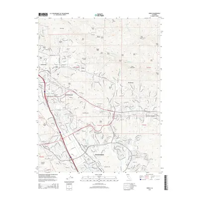
2015 Map of Diablo
USGS Topo · Published 2015About this map
The Diablo Range defines the eastern backdrop of this modern landscape, where suburban expansion meets the protected open spaces of the East Bay. The corridor along Interstate 680 shows the dense residential development of Danville and San Ramon, transitioning into the planned communities of Blackhawk and the older, secluded enclave of Diablo. This map captures the intricate relationship between modern infrastructure and complex topography, with neighborhood streets winding into the foothills of Pine Ridge and Alamo Ridge.
Find a feature on this map
51 named features on this map. Tap any name to fly to it.
Don’t see what you’re looking for? This feature index may not catch every label — zoom into the map to look around manually.
Map Details
Editions of this 2015 Diablo Map
This is the sole edition of this map. No revisions or reprints were ever made.
Other maps of this area

1896 · Mt. Diablo
USGS Topo · 1:62,500

1897 · Concord
USGS Topo · 1:62,500

1898 · Mt. Diablo
USGS Topo · 1:62,500

1899 · Haywards
USGS Topo · 1:62,500

1906 · Pleasanton
USGS Topo · 1:62,500

1915 · Haywards
USGS Topo · 1:62,500

1915 · Concord
USGS Topo · 1:62,500

1916 · Lone Tree Valley
USGS Topo · 1:31,680

1941 · Pleasanton
USGS Topo · 1:62,500

1942 · Concord
USGS Topo · 1:62,500