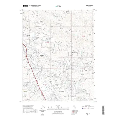
2018 Map of Diablo
USGS Topo · Published 2018About this map
Danville and San Ramon anchor the valley floor in this modern survey of the San Ramon Valley, showing the extensive residential development that has come to define the area. The map illustrates a landscape where suburban growth meets the protected slopes of the Diablo Range, featuring master-planned communities like Blackhawk and established neighborhoods such as Alamo Oaks and Sycamore Valley. Educational and recreational infrastructure is well-documented, from the Diablo Valley College - San Ramon Campus to the extensive trail network including the Iron Horse Regional Trail.
Find a feature on this map
66 named features on this map. Tap any name to fly to it.
Don’t see what you’re looking for? This feature index may not catch every label — zoom into the map to look around manually.
Map Details
Editions of this 2018 Diablo Map
This is the sole edition of this map. No revisions or reprints were ever made.
Other maps of this area

1896 · Mt. Diablo
USGS Topo · 1:62,500

1897 · Concord
USGS Topo · 1:62,500

1898 · Mt. Diablo
USGS Topo · 1:62,500

1899 · Haywards
USGS Topo · 1:62,500

1906 · Pleasanton
USGS Topo · 1:62,500

1915 · Haywards
USGS Topo · 1:62,500

1915 · Concord
USGS Topo · 1:62,500

1916 · Lone Tree Valley
USGS Topo · 1:31,680

1941 · Pleasanton
USGS Topo · 1:62,500

1942 · Concord
USGS Topo · 1:62,500