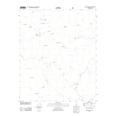
2011 Map of Diamond Butte
USGS Topo · Published 2011About this map
Tonto Creek and Haigler Creek converge in this remote Arizona landscape, carving deep passages like Haigler Canyon and the dramatic Hells Gate. The 2011 survey documents a territory defined by seasonal water management and isolated outposts, where dozens of tanks such as Smoky Hollow Tank and Mesa Tank support local ranching operations. Human presence is concentrated at small sites like Ellinwood Ranch, Spurlock, and the lonely Joy Cabin near the southern edge of the sheet.
Find a feature on this map
64 named features on this map. Tap any name to fly to it.
Don’t see what you’re looking for? This feature index may not catch every label — zoom into the map to look around manually.
Map Details
Editions of this 2011 Diamond Butte Map
This is the sole edition of this map. No revisions or reprints were ever made.
Other maps of this area

1886 · Holbrook
USGS Topo · 1:250,000

1887 · Verde
USGS Topo · 1:250,000

1892 · Verde
USGS Topo · 1:250,000

1893 · Holbrook
USGS Topo · 1:250,000

1934 · Promontory Butte
USGS Topo · 1:62,500

1937 · Diamond Butte
USGS Topo · 1:48,000

1939 · Promontory Butte
USGS Topo · 1:62,500

1943 · Diamond Butte
USGS Topo · 1:62,500

1952 · Promontory Butte
USGS Topo · 1:62,500

1954 · Holbrook
USGS Topo · 1:250,000