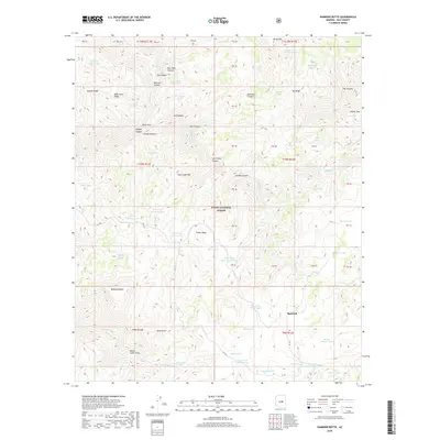
2018 Map of Diamond Butte
USGS Topo · Published 2018About this map
Tonto National Forest land defines this portion of Gila County, where the settlement of Spurlock sits at the base of a high-elevation plateau. The terrain is marked by significant vertical relief, characterized by deep incisions such as Haigler Canyon, Gordon Canyon, and Lost Camp Canyon. These drainages cut through prominent landforms like Apache Ridge and Hells Gate Ridge, leading toward the dramatic geologic narrowing known as Hells Gate.
Find a feature on this map
86 named features on this map. Tap any name to fly to it.
Don’t see what you’re looking for? This feature index may not catch every label — zoom into the map to look around manually.
Map Details
Editions of this 2018 Diamond Butte Map
This is the sole edition of this map. No revisions or reprints were ever made.
Other maps of this area

1886 · Holbrook
USGS Topo · 1:250,000

1887 · Verde
USGS Topo · 1:250,000

1892 · Verde
USGS Topo · 1:250,000

1893 · Holbrook
USGS Topo · 1:250,000

1934 · Promontory Butte
USGS Topo · 1:62,500

1937 · Diamond Butte
USGS Topo · 1:48,000

1939 · Promontory Butte
USGS Topo · 1:62,500

1943 · Diamond Butte
USGS Topo · 1:62,500

1952 · Promontory Butte
USGS Topo · 1:62,500

1954 · Holbrook
USGS Topo · 1:250,000