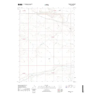
2017 Map of Diamond Flat
USGS Topo · Published 2017About this map
Diamond Flat occupies the central portion of this Wyoming landscape, a high-plains region defined by its complex drainages and topographical markers. The map details the watercourses that carve through the terrain, including Lone Tree Cr and Lone Tree Canyon to the north, and the south-flowing Fox Cr which passes through the Fox Creek Gap. These natural features dictated the early transportation routes through Goshen County, such as Bear Creek Rd which follows the winding path of Bear Cr along the southern boundary.
Find a feature on this map
19 named features on this map. Tap any name to fly to it.
Don’t see what you’re looking for? This feature index may not catch every label — zoom into the map to look around manually.
Map Details
Editions of this 2017 Diamond Flat Map
This is the sole edition of this map. No revisions or reprints were ever made.
Other maps of this area

1899 · Goshen Hole
USGS Topo · 1:125,000

1954 · Cheyenne
USGS Topo · 1:250,000

1958 · Cheyenne
USGS Topo · 1:250,000

1960 · Diamond Flat
USGS Topo · 1:24,000

1960 · Hawk Springs
USGS Topo · 1:24,000

1960 · Needle Rock
USGS Topo · 1:24,000

1960 · Rocky Hollow
USGS Topo · 1:24,000

1960 · Kessler Gap
USGS Topo · 1:24,000

1960 · Meriden
USGS Topo · 1:24,000

1963 · Y B O Canyon
USGS Topo · 1:24,000