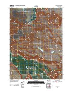
2011 Map of Diamond
USGS Topo · Published 2011About this map
Diamond serves as a central hub in this high-desert landscape of Harney County, where ranching and geology define the territory. The community is anchored by the Diamond Post Office, with surrounding lands managed by the Barton Ranch and W H Jones Ranch. The geography is shaped by the volcanic heritage of the Diamond Craters and the broad reach of the Diamond Valley, an area where water management is critical to agricultural life. Evidence of this human adaptation to the arid environment is seen in the Diamond Canal and Highline Ditch, which redirect surface water from local drainages like Swamp Creek, Kiger Creek, and Cucamonga Creek. A network of unpaved corridors including Lava Beds Rd and Happy Valley Rd connects these remote outposts, tracing the contours of Fisher Flat and the edges of White Lake.
Find a feature on this map
21 named features on this map. Tap any name to fly to it.
Don’t see what you’re looking for? This feature index may not catch every label — zoom into the map to look around manually.
Map Details
Editions of this 2011 Diamond Map
This is the sole edition of this map. No revisions or reprints were ever made.
Other maps of this area
1955 · Burns
USGS Topo · 1:250,000
1955 · Adel
USGS Topo · 1:250,000
1957 · Adel
USGS Topo · 1:250,000
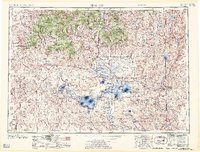
1958 · Burns
USGS Topo · 1:250,000
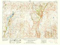
1958 · Adel
USGS Topo · 1:250,000
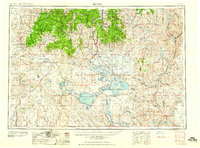
1959 · Burns
USGS Topo · 1:250,000
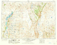
1962 · Adel
USGS Topo · 1:250,000
1967 · Happy Valley
USGS Topo · 1:24,000
1967 · Krumbo Reservoir
USGS Topo · 1:24,000
1967 · Jackass Butte NE
USGS Topo · 1:24,000