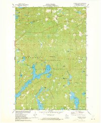
1971 Map of Diamond Lake
USGS Topo · Published 1973About this map
The Chequamegon National Forest encompasses this glacial landscape in northern Wisconsin, defined by an intricate network of deep blue water bodies and dense woodland. Central to the map is the expansive Owen Lake, which is bordered by the Two Lakes Campground and connected to a variety of recreation spots including a Picnic Area and Boat Ramp. The terrain is marked by the historical path of the Chicago and North Western railroad, which snakes through the western portion of the forest, bypassing numerous smaller basins like Roger Lake and Crane Lake. The southern extent features Lake Tahkodah and Diamond Lake, while the north is dotted with smaller, isolated waters such as Tank Lake and Johnson Springs. This mapping period captures the area's established character as a destination for outdoor recreation, evidenced by the presence of a Golf Course and numerous established drives.
Find a feature on this map
44 named features on this map. Tap any name to fly to it.
Don’t see what you’re looking for? This feature index may not catch every label — zoom into the map to look around manually.
Map Details
Editions of this 1971 Diamond Lake Map
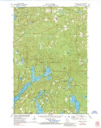
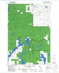
3 editions found
Other maps of this area

1943 · Namekagon Lake
USGS Topo · 1:48,000

1944 · Drummond
USGS Topo · 1:48,000

1944 · Grandview
USGS Topo · 1:48,000

1944 · Hayward
USGS Topo · 1:48,000

1945 · Namekagon Lake
USGS Topo · 1:48,000

1947 · Drummond
USGS Topo · 1:48,000

1947 · Grandview
USGS Topo · 1:48,000

1953 · Ashland
USGS Topo · 1:250,000

1958 · Ashland
USGS Topo · 1:250,000
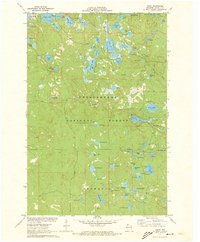
1971 · Delta
USGS Topo · 1:24,000