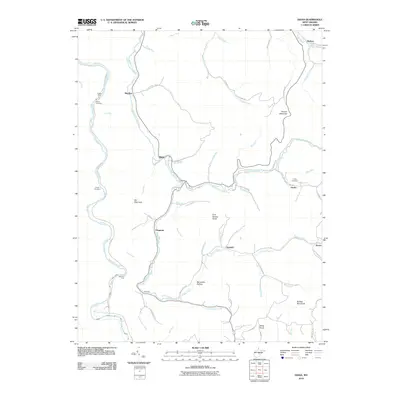
2010 Map of Diana
USGS Topo · Published 2010About this map
The Right Fork Holly River and Elk River define this portion of Webster County, winding through a landscape of named high points such as Hodam Mountain, Elk Mountain, and Buffalo Bull Knob. In this early 21st-century documentation, the region maintains a network of small settlements including Diana, Jumbo, Orndoff, and Kovan. These communities are connected by a web of rural roads, many named for the drainage runs they follow, such as Lick Run Rd and Fisher Run Rd.
Find a feature on this map
69 named features on this map. Tap any name to fly to it.
Don’t see what you’re looking for? This feature index may not catch every label — zoom into the map to look around manually.
Map Details
Editions of this 2010 Diana Map
This is the sole edition of this map. No revisions or reprints were ever made.
Other maps of this area

1889 · Nicholas
USGS Topo · 1:125,000

1891 · Nicholas
USGS Topo · 1:125,000

1891 · Huntersville
USGS Topo · 1:125,000

1893 · Buckhannon
USGS Topo · 1:125,000

1893 · Sutton
USGS Topo · 1:125,000

1894 · Huntersville
USGS Topo · 1:125,000

1896 · Buckhannon
USGS Topo · 1:125,000

1897 · Buckhannon
USGS Topo · 1:125,000

1901 · Nicholas
USGS Topo · 1:125,000

1908 · Sutton
USGS Topo · 1:48,000