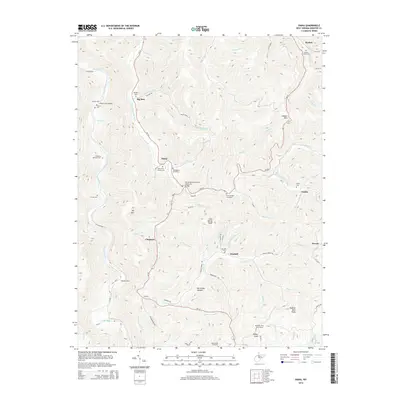
2014 Map of Diana
USGS Topo · Published 2014About this map
Diana and its surrounding mountain gaps in Webster County are defined by the winding course of the Right Fork Holly River and its numerous tributaries. This survey captures the rural landscape at a time when small communities like Big Run, Chapman, and Orndoff remained connected by a network of local routes such as WV-15 and WV-20. The map is particularly valuable for its density of family and community burial grounds, documenting sites like Oddfellows Cemetery, Green Cem, and the Columbus McCourt Cem.
Find a feature on this map
79 named features on this map. Tap any name to fly to it.
Don’t see what you’re looking for? This feature index may not catch every label — zoom into the map to look around manually.
Map Details
Editions of this 2014 Diana Map
This is the sole edition of this map. No revisions or reprints were ever made.
Other maps of this area

1889 · Nicholas
USGS Topo · 1:125,000

1891 · Nicholas
USGS Topo · 1:125,000

1891 · Huntersville
USGS Topo · 1:125,000

1893 · Buckhannon
USGS Topo · 1:125,000

1893 · Sutton
USGS Topo · 1:125,000

1894 · Huntersville
USGS Topo · 1:125,000

1896 · Buckhannon
USGS Topo · 1:125,000

1897 · Buckhannon
USGS Topo · 1:125,000

1901 · Nicholas
USGS Topo · 1:125,000

1908 · Sutton
USGS Topo · 1:48,000