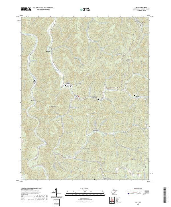
2023 Map of Diana
USGS Topo · Published 2023About this map
The Right Fork Holly River and Elk River carve deep through this central West Virginia landscape, anchoring several small communities in the hollows. The settlement of Diana sits at the confluence of the river and Deep Run, marked by the Holly River Baptist Church and Fellows Cem. To the south, Orndoff and Chapman represent the sparse but persistent residential footprint of the region, while peaks like Cool Spring Knob and Buffalo Bull Knob rise sharply between the watercourses. This contemporary survey reveals a geography shaped by family and community ties, evidenced by numerous burial grounds such as Columbus McCourt Cem and Clifton Cem. The road network, including Hacker Valley Rd and Diana Dr, follows the natural contours of the drainages, linking these isolated settlements and mountain ridges.
Find a feature on this map
83 named features on this map. Tap any name to fly to it.
Don’t see what you’re looking for? This feature index may not catch every label — zoom into the map to look around manually.
Map Details
Editions of this 2023 Diana Map
This is the sole edition of this map. No revisions or reprints were ever made.
Other maps of this area

1889 · Nicholas
USGS Topo · 1:125,000

1891 · Nicholas
USGS Topo · 1:125,000

1891 · Huntersville
USGS Topo · 1:125,000

1893 · Buckhannon
USGS Topo · 1:125,000

1893 · Sutton
USGS Topo · 1:125,000

1894 · Huntersville
USGS Topo · 1:125,000

1896 · Buckhannon
USGS Topo · 1:125,000

1897 · Buckhannon
USGS Topo · 1:125,000

1901 · Nicholas
USGS Topo · 1:125,000

1908 · Sutton
USGS Topo · 1:48,000