Loading...
Loading map...2022 Map of Dibble
USGS Topo · Published 2022About this map
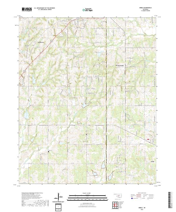
Blanchard and Middleberg anchor the northern reaches of this landscape where the borders of Grady and McClain counties meet. The terrain is defined by a dense network of tributaries including West Winter Cr and East Winter Creek, which feed into larger systems such as Walnut Cr. In the southern portion of the sheet, the community of Dibble sits near the confluence of Dibble Cr and Criller Cr.
Find a feature on this map
84 named features on this map. Tap any name to fly to it.
Don’t see what you’re looking for? This feature index may not catch every label — zoom into the map to look around manually.
Map Details
Date Portrayed2022
Date Published2022
PublisherU.S. Geological Survey
Map TypeTopographic
Scale1:24000
Physical Dimensions24 x 29 inches
Editions of this 2022 Dibble Map
This is the sole edition of this map. No revisions or reprints were ever made.
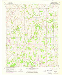
Historical Maps of Middleberg Through Time
Featured Locations
Source Details
SourceU.S. Geological Survey
CopyrightPublic Domain