
1982 Map of Dickenson Well
USGS Topo · Published 1982About this map
The Butte Mountains and Long Valley define the arid topography of this remote White Pine County landscape as it appeared in the late 1970s. This transitional zone between the valley floor and the higher peaks of Antelope Mtn. is characterized by a sparse network of water sources essential for high-desert ranching and resource extraction. Evidence of local industry and homesteading is visible through numerous named water points including Dickenson Well, McBrides Sheep Well, and White Sage Well. The map also records the presence of an Oil Well and several Prospects scattered across the eastern slopes, illustrating the region's long-standing connection to mineral exploration. The Thirty-mile Ranch and Marking Corral serve as significant cultural landmarks, anchoring the grazing history of Long Valley Canyon.
Find a feature on this map
17 named features on this map. Tap any name to fly to it.
Don’t see what you’re looking for? This feature index may not catch every label — zoom into the map to look around manually.
Map Details
Editions of this 1982 Dickenson Well Map
This is the sole edition of this map. No revisions or reprints were ever made.
Other maps of this area

1951 · Illipah
USGS Topo · 1:62,500

1956 · Ely
USGS Topo · 1:250,000

1959 · Ely
USGS Topo · 1:250,000

1959 · Reipetown
USGS Topo · 1:62,500

1963 · Ely
USGS Topo · 1:250,000

1979 · Mt. Hamilton
USGS Topo · 1:100,000

1982 · White Sage Well
USGS Topo · 1:24,000
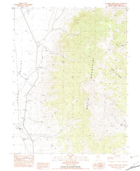
1982 · McBrides Sheep Well
USGS Topo · 1:24,000

1982 · Sunshine Well
USGS Topo · 1:24,000
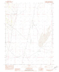
1982 · Sunshine Well NW
USGS Topo · 1:24,000