
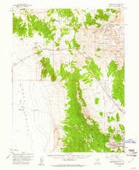
1959 Map of Reipetown
USGS Topo · Published 1961About this map
Mining operations dominate the landscape at the southern end of the Egan Range, where a series of open pits and tunnels define the local economy of late 1950s White Pine County. The settlement of Reipetown and the industrial hub at Kimberly serve as the focal points for activity at the Veteran Pit, Tripp Pit, and Morris Pit. This industrial footprint is further evidenced by the Nevada Northern railroad line, which reaches these high-elevation work sites to transport ore.
Find a feature on this map
76 named features on this map. Tap any name to fly to it.
Don’t see what you’re looking for? This feature index may not catch every label — zoom into the map to look around manually.
Map Details
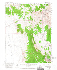
Editions of this 1959 Reipetown Map
3 editions found
Other maps of this area

1949 · Treasure Hill
USGS Topo · 1:62,500

1950 · Treasure Hill
USGS Topo · 1:62,500

1951 · Illipah
USGS Topo · 1:62,500

1952 · Ely
USGS Topo · 1:125,000

1956 · Ely
USGS Topo · 1:250,000

1958 · Ruth
USGS Topo · 1:24,000

1958 · Ely
USGS Topo · 1:62,500

1958 · McGill
USGS Topo · 1:62,500

1958 · Reipetown
USGS Topo · 1:24,000

1958 · Giroux Wash
USGS Topo · 1:24,000