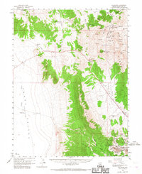
1959 Map of Riepetown
USGS Topo · Published 1967About this map
The industrial mining landscape of White Pine County dominates the southeastern corner of this 1950s survey, where the heavy excavation of Copper Flat meets the settlements of Riepetown and Kimberly. This area is characterized by an extensive network of open-pit operations, including the Liberty Pit, Emma Nevada Pit, and Tripp Pit, serviced by the Nevada Northern railroad. The presence of the Matilda Tunnel and the Sunshine Dump further illustrates the intensity of copper extraction during this era.
Find a feature on this map
67 named features on this map. Tap any name to fly to it.
Don’t see what you’re looking for? This feature index may not catch every label — zoom into the map to look around manually.
Map Details
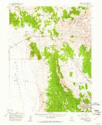
Editions of this 1959 Riepetown Map
3 editions found

Other maps of this area

1949 · Treasure Hill
USGS Topo · 1:62,500

1950 · Treasure Hill
USGS Topo · 1:62,500

1951 · Illipah
USGS Topo · 1:62,500

1952 · Ely
USGS Topo · 1:125,000

1956 · Ely
USGS Topo · 1:250,000

1958 · Ruth
USGS Topo · 1:24,000

1958 · Ely
USGS Topo · 1:62,500

1958 · McGill
USGS Topo · 1:62,500

1958 · Reipetown
USGS Topo · 1:24,000

1958 · Giroux Wash
USGS Topo · 1:24,000