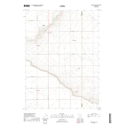
2017 Map of Dickinson Hill
USGS Topo · Published 2017About this map
Goshen Hole Rim defines the dramatic topography of this corner of Wyoming, where the high plains drop away into the basin of the Goshen Hole. The terrain is marked by the prominent elevation of Dickinson Hill, which stands as a landmark above the surrounding drainage networks. The water sources here are sparse but critical, centered on Forney Springs and the seasonal path of Forney Draw. This 2017 survey illustrates a landscape primarily organized by long-established rural routes and section lines, with roads like Rattlesnake Rd and Goshen Hole Rd tracing the natural contours of the rim. The map also delineates the jurisdictional boundary between Platte Co and Goshen Co, showing how contemporary property and county divisions overlay this distinctive geologic escarpment.
Find a feature on this map
21 named features on this map. Tap any name to fly to it.
Don’t see what you’re looking for? This feature index may not catch every label — zoom into the map to look around manually.
Map Details
Editions of this 2017 Dickinson Hill Map
This is the sole edition of this map. No revisions or reprints were ever made.
Other maps of this area

1896 · Hartville
USGS Topo · 1:125,000

1901 · Hartville
USGS Topo · 1:125,000

1950 · Rockeagle
USGS Topo · 1:24,000

1951 · Antelope Gap
USGS Topo · 1:24,000

1951 · Eagles Nest
USGS Topo · 1:24,000

1953 · Chugwater
USGS Topo · 1:24,000

1953 · Bordeaux
USGS Topo · 1:24,000

1954 · Torrington
USGS Topo · 1:250,000

1954 · Cheyenne
USGS Topo · 1:250,000

1958 · Cheyenne
USGS Topo · 1:250,000