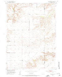
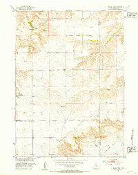
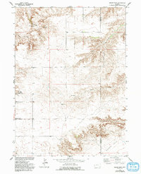
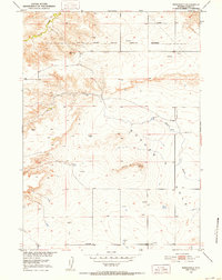
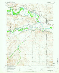
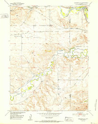
1951 Map of Eagles Nest
USGS Topo · Published 1953About this map
Eagles Nest sits at the edge of the dramatic Eagles Nest Canyon in this early 1950s study of the Wyoming landscape. The map captures a transition in the terrain as the upland breaks into the massive depression of the Goshen Hole to the southeast. Water sources are critical in this arid ranching environment, noted by the Cottonwood Spring and numerous Windmill sites across the Platte and Goshen county line.
Find a feature on this map
13 named features on this map. Tap any name to fly to it.
Don’t see what you’re looking for? This feature index may not catch every label — zoom into the map to look around manually.
Map Details
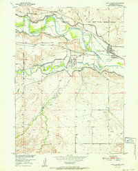
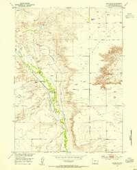
Editions of this 1951 Eagles Nest Map
3 editions found
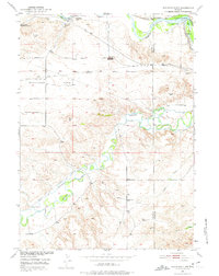
Other maps of this area

1896 · Hartville
USGS Topo · 1:125,000

1901 · Hartville
USGS Topo · 1:125,000
1950 · Rockeagle
USGS Topo · 1:24,000
1950 · Fort Laramie
USGS Topo · 1:24,000
1950 · Register Cliff
USGS Topo · 1:24,000
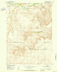
1951 · Antelope Gap
USGS Topo · 1:24,000
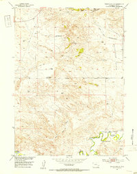
1951 · Wheatland NE
USGS Topo · 1:24,000
1952 · Register Cliff
USGS Topo · 1:24,000
1952 · Fort Laramie
USGS Topo · 1:24,000
1953 · Bordeaux
USGS Topo · 1:24,000