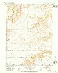
1951 Map of Eagles Nest
USGS Topo · Published 1953About this map
The Goshen Hole depression dominates the southeastern landscape of this mid-century survey along the Platte and Goshen county line. This ranching territory is characterized by its reliance on water and power infrastructure, evidenced by numerous Windmill sites and a specific Windcharger located near Cherry Creek. The social and logistical center of the area is anchored by the Antelope Grange Hall situated along Antelope Gap Road, reflecting the community-based agricultural life of the early 1950s. The terrain is deeply inscribed by drainage systems like Cottonwood Draw and Little Cottonwood Draw, while Cottonwood Falls Spring provides a critical natural water source in this semi-arid environment. Named landmarks such as Eagles Nest and various survey points like VABM 5389 Cherry highlight the topographic prominence of the ridges overlooking the low-lying basins.
Find a feature on this map
15 named features on this map. Tap any name to fly to it.
Don’t see what you’re looking for? This feature index may not catch every label — zoom into the map to look around manually.
Map Details
Editions of this 1951 Eagles Nest Map
3 editions found
Other maps of this area

1896 · Hartville
USGS Topo · 1:125,000

1901 · Hartville
USGS Topo · 1:125,000

1950 · Rockeagle
USGS Topo · 1:24,000

1950 · Fort Laramie
USGS Topo · 1:24,000

1950 · Register Cliff
USGS Topo · 1:24,000

1951 · Antelope Gap
USGS Topo · 1:24,000
1951 · Wheatland NE
USGS Topo · 1:24,000

1951 · Eagles Nest
USGS Topo · 1:24,000

1952 · Register Cliff
USGS Topo · 1:24,000

1952 · Fort Laramie
USGS Topo · 1:24,000