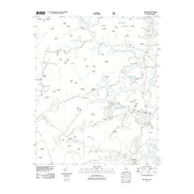
2011 Map of Dillard
USGS Topo · Published 2011About this map
Germany sits along the Germany Rd in the southwestern portion of this survey, surrounded by high-elevation peaks like Steele Knob and Potato Hill. This area is defined by the headwaters of Timpson Creek and Scott Creek, reflecting a settlement pattern tied to narrow mountain valleys and high gaps. Further east, the Little Tennessee River corridor anchors the larger communities of Dillard and Mountain City, where the Rabun Gap Nacoochee School occupies a prominent position in the valley floor.
Find a feature on this map
154 named features on this map. Tap any name to fly to it.
Don’t see what you’re looking for? This feature index may not catch every label — zoom into the map to look around manually.
Map Details
Editions of this 2011 Dillard Map
This is the sole edition of this map. No revisions or reprints were ever made.
Other maps of this area

1886 · Dahlonega
USGS Topo · 1:125,000

1886 · Walhalla
USGS Topo · 1:125,000

1891 · Cowee
USGS Topo · 1:125,000

1892 · Dahlonega
USGS Topo · 1:125,000

1892 · Walhalla
USGS Topo · 1:125,000

1896 · Walhalla
USGS Topo · 1:125,000

1896 · Dahlonega
USGS Topo · 1:125,000

1897 · Cowee
USGS Topo · 1:125,000

1903 · Dahlonega
USGS Topo · 1:125,000

1907 · Cowee
USGS Topo · 1:125,000