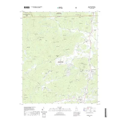
2020 Map of Dillard
USGS Topo · Published 2020About this map
Nantahala National Forest and Chattahoochee National Forest converge at the North Carolina and Georgia state line, framing a landscape defined by the upper reaches of the Little Tennessee River. The area around Dillard and Mountain City serves as a corridor of settlement between prominent peaks like Blackrock Mtn and Ridgepole Mtn. The Appalachian National Scenic Trail winds along the northern ridges, crossing Carter Gap and Nichols Gap, while the valley floor below preserves local history at the Dickerson Mill and Kilby Mill sites.
Find a feature on this map
139 named features on this map. Tap any name to fly to it.
Don’t see what you’re looking for? This feature index may not catch every label — zoom into the map to look around manually.
Map Details
Editions of this 2020 Dillard Map
This is the sole edition of this map. No revisions or reprints were ever made.
Other maps of this area

1886 · Dahlonega
USGS Topo · 1:125,000

1886 · Walhalla
USGS Topo · 1:125,000

1891 · Cowee
USGS Topo · 1:125,000

1892 · Dahlonega
USGS Topo · 1:125,000

1892 · Walhalla
USGS Topo · 1:125,000

1896 · Walhalla
USGS Topo · 1:125,000

1896 · Dahlonega
USGS Topo · 1:125,000

1897 · Cowee
USGS Topo · 1:125,000

1903 · Dahlonega
USGS Topo · 1:125,000

1907 · Cowee
USGS Topo · 1:125,000