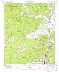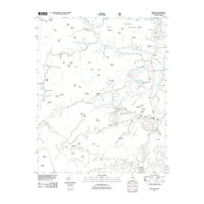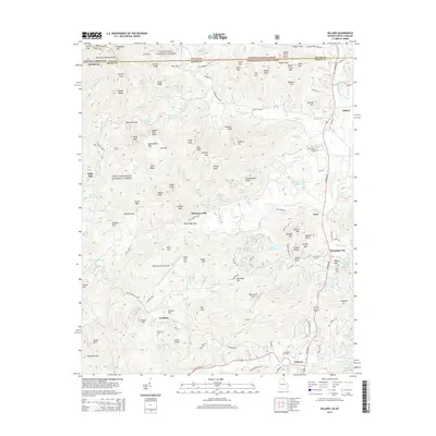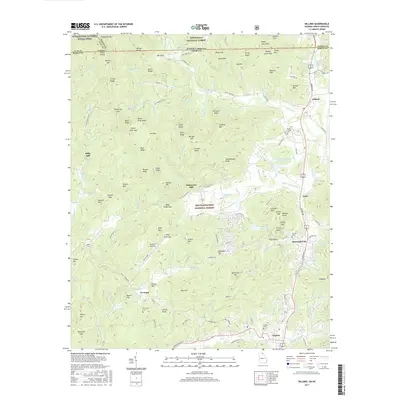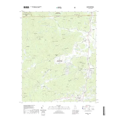
2024 Map of Dillard
USGS Topo · Published 2024About this map
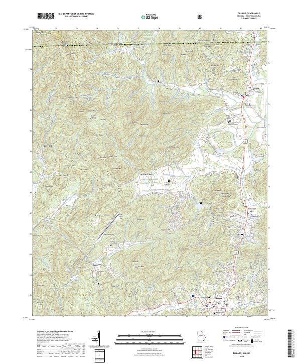
Clayton and Dillard anchor this study of the Georgia-North Carolina borderlands, where the Little Tennessee River carves a path between the Nantahala National Forest and the Chattahoochee National Forest. This modern record reveals a landscape defined by its deep community roots, from the historic Rabun Gap Nacoochee School to family-named landmarks like Dickerson Mill and Kilby Mill. The Tennessee Valley Divide snakes through the high country, separating the drainages of Bettys Creek and Patterson Creek.
Find a feature on this map
221 named features on this map. Tap any name to fly to it.
Don’t see what you’re looking for? This feature index may not catch every label — zoom into the map to look around manually.
Map Details
Editions of this 2024 Dillard Map
This is the sole edition of this map. No revisions or reprints were ever made.
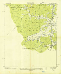
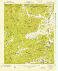
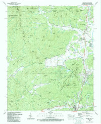
Historical Maps of Clayton Through Time
9 maps found