Loading...
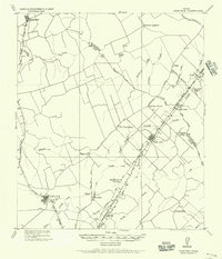
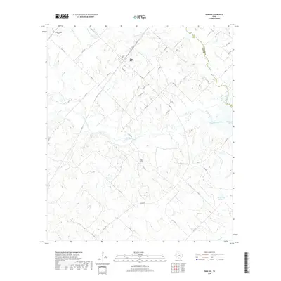
Loading map...1959 Map of Dime Box
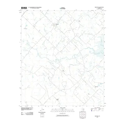
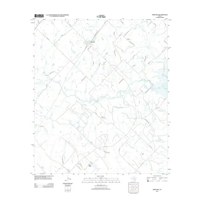
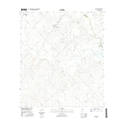
USGS Topo · Published 1973About this map
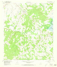
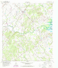
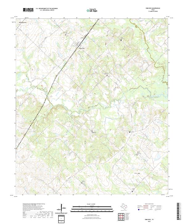
Dime Box and Old Dime Box serve as the primary anchors for this rural landscape in central Texas, illustrating the shift of settlements toward transportation corridors. The Southern Pacific and New Orleans and Texas railroads cut a sharp diagonal through the terrain, dictating the development of local infrastructure. Along the northern edge, the route of El Camino Real traces a ancient path through the county, while the eastern portion of the sheet is dominated by the waters of Somerville Lake along the Middle Yegua Creek drainage.
Find a feature on this map
32 named features on this map. Tap any name to fly to it.
Don’t see what you’re looking for? This feature index may not catch every label — zoom into the map to look around manually.
Map Details
Date Portrayed1959
Date Published1973
PublisherU.S. Geological Survey
Map TypeTopographic
Scale1:24,000
Physical Dimensions23 x 27 inches
Editions of this 1959 Dime Box Map
4 editions found
Historical Maps of Antioch Through Time
7 maps found
Featured Locations
Source Details
SourceU.S. Geological Survey
CopyrightPublic Domain