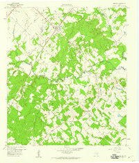
1959 Map of Dime Box
USGS Topo · Published 1960About this map
The settlement of Dime Box and its predecessor, Old Dime Box, serve as the focal points of this late 1950s survey of the Lee County landscape. The shift in geography between the two town sites is marked by the path of the Southern Pacific railroad, which reshaped local commerce. The area is deeply rooted in its rural social infrastructure, with numerous country churches such as St Joseph Ch, Rising Star Ch, and Antioch Ch dotting the countryside alongside community anchors like Fairview High Sch.
Find a feature on this map
29 named features on this map. Tap any name to fly to it.
Don’t see what you’re looking for? This feature index may not catch every label — zoom into the map to look around manually.
Map Details
Editions of this 1959 Dime Box Map
4 editions found
Other maps of this area

1919 · Giddings
USGS Topo · 1:62,500

1919 · Dime Box
USGS Topo · 1:62,500

1954 · Austin
USGS Topo · 1:250,000

1956 · Somerville
USGS Topo · 1:62,500

1958 · Ledbetter
USGS Topo · 1:24,000

1958 · Carmine
USGS Topo · 1:24,000
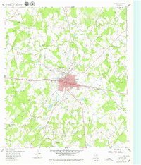
1958 · Giddings
USGS Topo · 1:24,000

1959 · Flag Pond
USGS Topo · 1:24,000
1960 · Tanglewood
USGS Topo · 1:24,000
1960 · Frenstat
USGS Topo · 1:24,000