
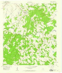
1958 Map of Ledbetter
USGS Topo · Published 1959About this map
The Texas and New Orleans (Southern Pacific) railroad forms the industrial backbone of this central Texas landscape, passing directly through the community of Ledbetter. This late-1950s survey shows a rural environment transitioning between agriculture and early resource extraction, as evidenced by several Gravel Pits and a Quarry situated near the intersection of the Lee, Fayette, and Washington county lines.
Find a feature on this map
34 named features on this map. Tap any name to fly to it.
Don’t see what you’re looking for? This feature index may not catch every label — zoom into the map to look around manually.
Map Details
Editions of this 1958 Ledbetter Map
2 editions found
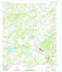
Other maps of this area

1919 · Giddings
USGS Topo · 1:62,500

1919 · Dime Box
USGS Topo · 1:62,500

1954 · Austin
USGS Topo · 1:250,000

1956 · Somerville
USGS Topo · 1:62,500
1958 · Nechanitz
USGS Topo · 1:24,000

1958 · Carmine
USGS Topo · 1:24,000
1958 · Round Top
USGS Topo · 1:24,000
1958 · Giddings
USGS Topo · 1:24,000

1959 · Flag Pond
USGS Topo · 1:24,000
1959 · Dime Box
USGS Topo · 1:24,000