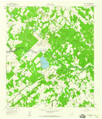
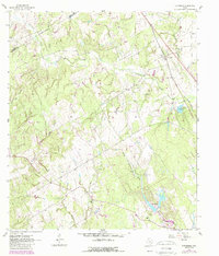
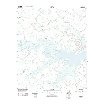
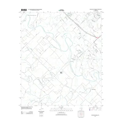
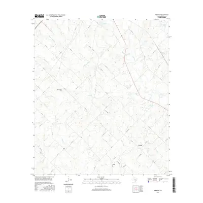
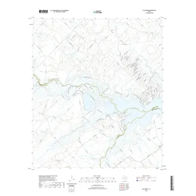
1959 Map of Flag Pond
USGS Topo · Published 1960About this map
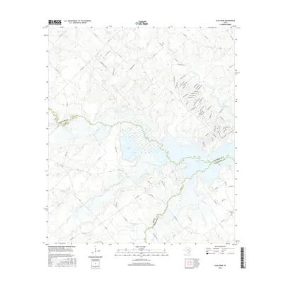
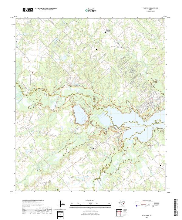
Flag Pond lies at the heart of this landscape where the borders of Burleson, Lee, and Washington counties meet. Mapped in the late 1950s, the terrain is defined by a dendritic network of waterways, including Yegua Creek and its many tributaries like Nails Creek and Cedar Creek. The settlement pattern of the era is marked by rural community centers, particularly near Flat Prairie Ch, where a school and Flat Prairie Cem indicate a long-standing local congregation. Sparse development across the wooded hills is anchored by small landmarks such as St Mary Ch and the Post Oak Sch, providing a detailed look at the social geography of rural Central Texas before significant modernization. The presence of an Artesian Well and numerous small tanks suggests a landscape focused on livestock and seasonal water management.
Find a feature on this map
18 named features on this map. Tap any name to fly to it.
Don’t see what you’re looking for? This feature index may not catch every label — zoom into the map to look around manually.
Map Details
Editions of this 1959 Flag Pond Map
This is the sole edition of this map. No revisions or reprints were ever made.
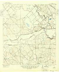
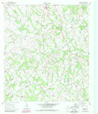
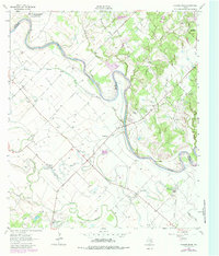
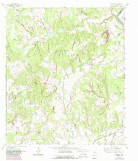
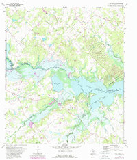
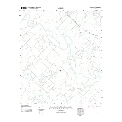
Historical Maps of Post Oak Through Time
32 maps found
1914 Gay Hill
Burleson County, TX
1959 Flag Pond
Burleson County, TX
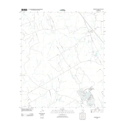
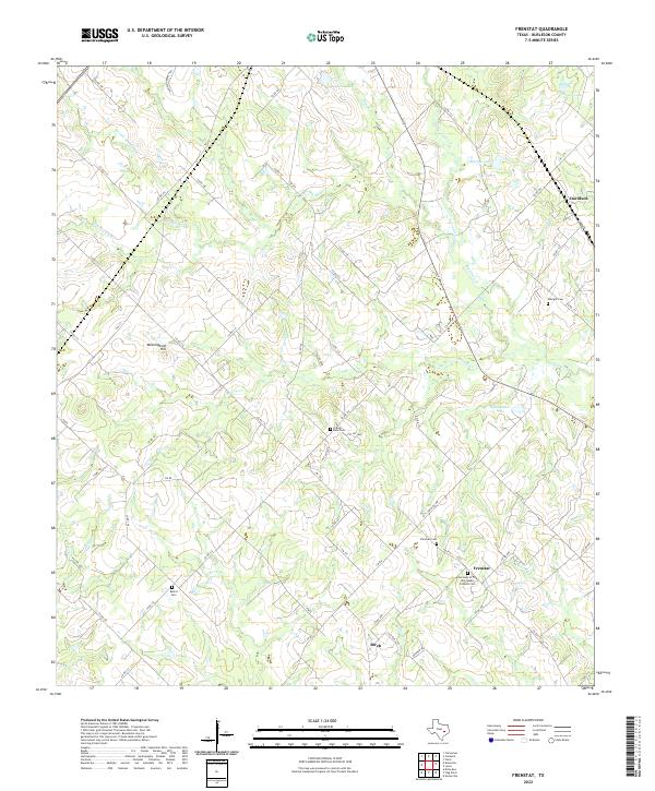
1960 Frenstat
Burleson County, TX
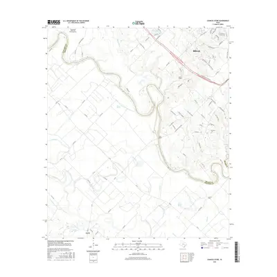
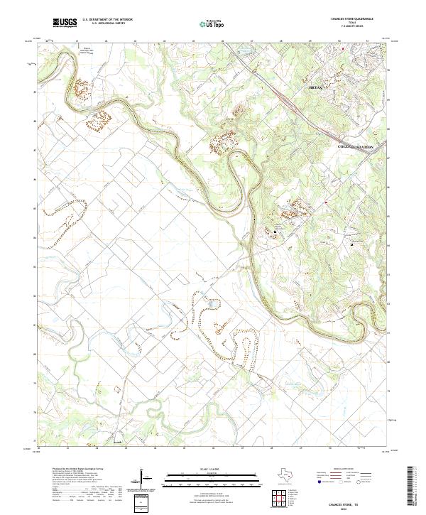
1962 Chances Store
Burleson County, TX
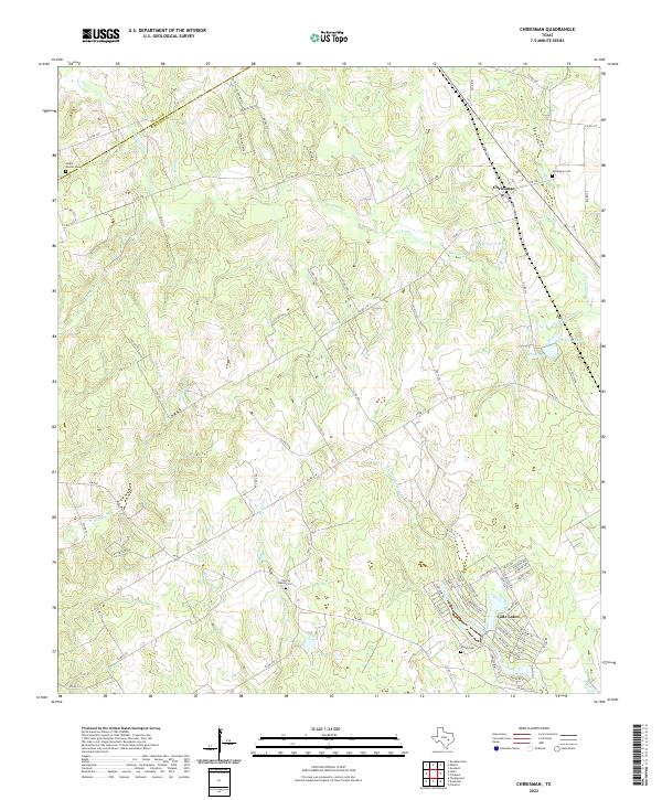
1962 Chriesman
Burleson County, TX
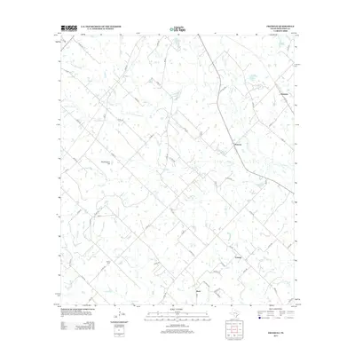
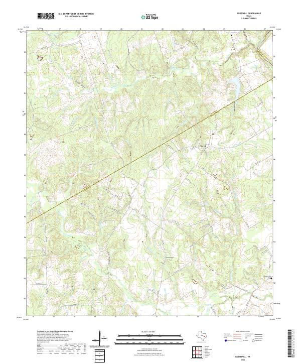
1962 Goodwill
Burleson County, TX
1971 Flag Pond
Burleson County, TX
2010 Chances Store
Burleson County, TX
2010 Chriesman
Burleson County, TX
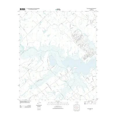
2010 Flag Pond
Burleson County, TX
2010 Frenstat
Burleson County, TX
2010 Goodwill
Burleson County, TX
2013 Chances Store
Burleson County, TX
2013 Chriesman
Burleson County, TX
2013 Flag Pond
Burleson County, TX
2013 Frenstat
Burleson County, TX
2013 Goodwill
Burleson County, TX
2016 Chances Store
Burleson County, TX
2016 Chriesman
Burleson County, TX
2016 Flag Pond
Burleson County, TX
2016 Frenstat
Burleson County, TX
2016 Goodwill
Burleson County, TX
2019 Chances Store
Burleson County, TX
2019 Chriesman
Burleson County, TX
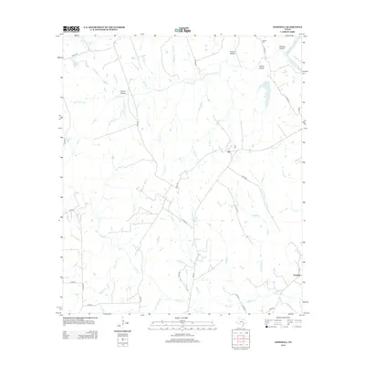
2019 Flag Pond
Burleson County, TX
2019 Frenstat
Burleson County, TX
2019 Goodwill
Burleson County, TX
2022 Chances Store
Burleson County, TX
2022 Chriesman
Burleson County, TX
2022 Flag Pond
Burleson County, TX
2022 Frenstat
Burleson County, TX
2022 Goodwill
Burleson County, TX