
1960 Map of Lyons
USGS Topo · Published 1962About this map
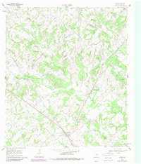
The Gulf Colorado and Santa Fe (AT & SF) railroad cuts a diagonal line through this 1960 landscape, anchoring the settlement of Lyons where it meets a network of local roads. The map reveals a rural Texas community defined by its watercourses, including the winding paths of Berry Creek, Davidson Creek, and Sandy Creek. These creeks divide the terrain into distinct wooded and cleared areas, marked by fine dashed lines that delineate individual fence and field boundaries as they appeared mid-century.
Find a feature on this map
16 named features on this map. Tap any name to fly to it.
Don’t see what you’re looking for? This feature index may not catch every label — zoom into the map to look around manually.
Map Details
Editions of this 1960 Lyons Map
2 editions found
Other maps of this area

1914 · Gay Hill
USGS Topo · 1:62,500

1954 · Austin
USGS Topo · 1:250,000

1956 · Bryan
USGS Topo · 1:62,500

1956 · Caldwell
USGS Topo · 1:62,500

1956 · Somerville
USGS Topo · 1:62,500

1959 · Flag Pond
USGS Topo · 1:24,000

1959 · Gay Hill
USGS Topo · 1:24,000

1959 · Somerville
USGS Topo · 1:24,000
1960 · Snook
USGS Topo · 1:24,000
1960 · Frenstat
USGS Topo · 1:24,000