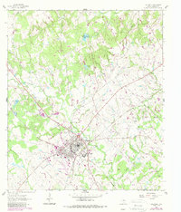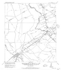
1956 Map of Caldwell
USGS Topo · Published 1956About this map
The Brazos River and its floodplain dominate this landscape, where the convergence of the Little Brazos River and Little River created a complex environment of ferries and levees. This 1956 reprint of a 1919 military survey captures the Brazos Valley during a peak era of cotton production and rail transport. The map highlights the intensive agricultural infrastructure of the period, featuring numerous gins like the Skrabonek Gin and Bob Astin Gin. Transport was anchored by the Old San Antonio Nacogdoches Road and a dense network of railroads, including the San Antonio and Aransas Pass Railway and the Bryan & Central Texas Interurban Railway. In Caldwell, the street grid and rail junctions serve as a hub for outlying communities like (Mudville) Steele and Cooks Point. Notable riverside landmarks such as Moseley's Ferry and the Protection Levee illustrate the local efforts to manage the river's influence on settlement and commerce.
Find a feature on this map
57 named features on this map. Tap any name to fly to it.
Don’t see what you’re looking for? This feature index may not catch every label — zoom into the map to look around manually.
Map Details
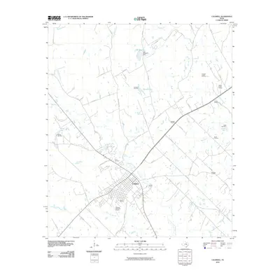
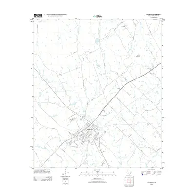
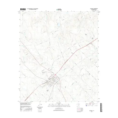
Editions of this 1956 Caldwell Map
This is the sole edition of this map. No revisions or reprints were ever made.
Historical Maps of Bryan Through Time
7 maps found