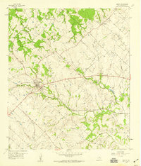
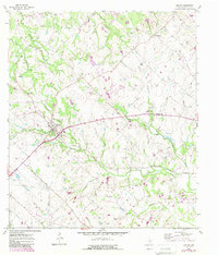
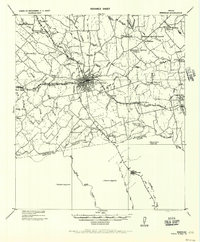
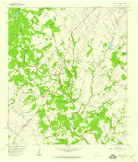
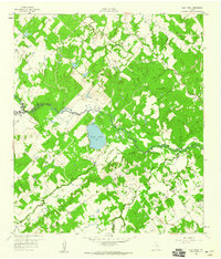
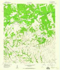
1958 Map of Burton
USGS Topo · Published 1959About this map
Burton serves as the central hub of this 1950s landscape, where the Texas and New Orleans railroad corridor intersects with a rural network of family cemeteries and country churches. The geography is defined by a dense system of seasonal waterways, including Mayfield Creek and the East Fork Indian Creek, which carve through the terrain between small settlements like Longpoint and Union Hill.
Find a feature on this map
26 named features on this map. Tap any name to fly to it.
Don’t see what you’re looking for? This feature index may not catch every label — zoom into the map to look around manually.
Map Details
Editions of this 1958 Burton Map
2 editions found
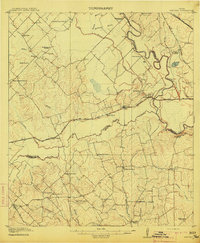
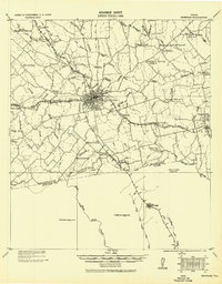
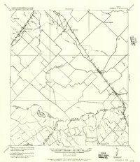
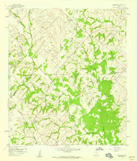
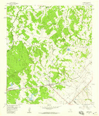
Other maps of this area
1914 · Gay Hill
USGS Topo · 1:62,500
1930 · Brenham
USGS Topo · 1:62,500

1954 · Austin
USGS Topo · 1:250,000
1956 · Brenham
USGS Topo · 1:62,500
1956 · Somerville
USGS Topo · 1:62,500
1958 · Greenvine
USGS Topo · 1:24,000
1958 · Carmine
USGS Topo · 1:24,000
1958 · Round Top
USGS Topo · 1:24,000
1959 · Flag Pond
USGS Topo · 1:24,000
1959 · Gay Hill
USGS Topo · 1:24,000