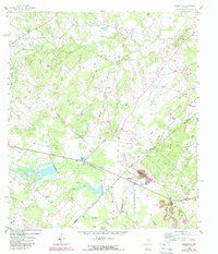
1958 Map of Ledbetter
USGS Topo · Published 1989About this map
The town of Ledbetter serves as the focal point of this landscape, situated near the intersection of major rail and road corridors during the late 1950s. The area is defined by its agrarian roots and burgeoning energy sector, with several large Oil Field zones and a Quarry dotting the hills. Waterways like Cummins Creek and Nails Creek wind through the terrain, supporting local landmarks such as Goerlitz Lake and Vernon Lake. Genealogical interest is found in the distribution of community centers like Globe Hill Ch and Jones Colony Ch, alongside family-named burial grounds including Rost Cem, Atkinson Cem, and Wolf Cem. A distinctive Race Track and the small settlements of Sunnyside and Alexander provide evidence of the social and residential patterns of the era, while boundary lines for Lee, Washington, and Fayette counties converge in the southern reaches of the map.
Find a feature on this map
32 named features on this map. Tap any name to fly to it.
Don’t see what you’re looking for? This feature index may not catch every label — zoom into the map to look around manually.
Map Details
Editions of this 1958 Ledbetter Map
2 editions found
Other maps of this area

1919 · Giddings
USGS Topo · 1:62,500

1919 · Dime Box
USGS Topo · 1:62,500

1954 · Austin
USGS Topo · 1:250,000

1956 · Somerville
USGS Topo · 1:62,500

1958 · Ledbetter
USGS Topo · 1:24,000
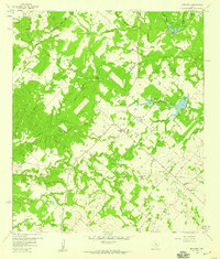
1958 · Nechanitz
USGS Topo · 1:24,000

1958 · Carmine
USGS Topo · 1:24,000
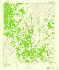
1958 · Round Top
USGS Topo · 1:24,000
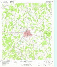
1958 · Giddings
USGS Topo · 1:24,000

1959 · Flag Pond
USGS Topo · 1:24,000