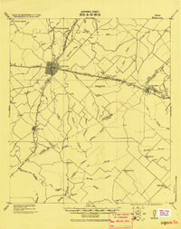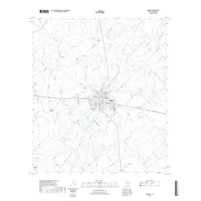
1958 Map of Giddings
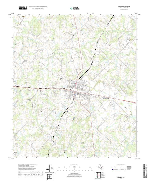
USGS Topo · Published 1979About this map
The intersection of the Texas and New Orleans and Southern Pacific railroads anchors the city of Giddings during the late 1950s. This survey highlights the region's historical depth, noting the trace of El Camino Real in the northwest corner and the Goacher Cem (Historical Site) near Rabbs Creek. The landscape is a network of small family cemeteries and rural congregations, including the Bethel Chapel Cem and Corinth Ch, reflecting a settled agricultural community. Beyond the municipal center, with its Courthouse and County Fairground, the terrain is defined by numerous drainage systems like Nails Creek and Hickory Creek. Smaller nodes like Serbin appear at the southern edge, while local industry is evidenced by scattered Gravel Pits and utility infrastructure like a prominent Telephone Cable and Pipeline crossing the prairie.
Find a feature on this map
49 named features on this map. Tap any name to fly to it.
Don’t see what you’re looking for? This feature index may not catch every label — zoom into the map to look around manually.
Map Details
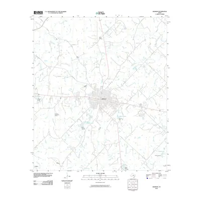
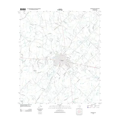
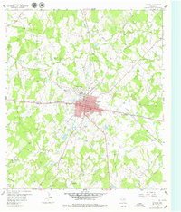
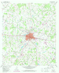
Editions of this 1958 Giddings Map
2 editions found
Historical Maps of Giddings Through Time
7 maps found