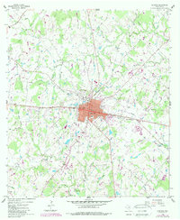
1958 Map of Giddings
USGS Topo · Published 1989About this map
The Southern Pacific railroad corridor anchors this survey of central Texas, where the town of Giddings serves as a regional hub for the surrounding livestock and petroleum economy. The landscape is defined by the Oil Field development that dots the countryside between substantial watercourses like Rabbs Creek and Nails Creek. To the southwest, the historic Wendish settlement of Serbin appears, preserving a unique cultural footprint in Lee County.
Find a feature on this map
43 named features on this map. Tap any name to fly to it.
Don’t see what you’re looking for? This feature index may not catch every label — zoom into the map to look around manually.
Map Details
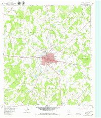
Editions of this 1958 Giddings Map
2 editions found
Other maps of this area

1885 · Bastrop
USGS Topo · 1:125,000

1893 · Bastrop
USGS Topo · 1:125,000

1904 · Bastrop
USGS Topo · 1:125,000

1919 · Giddings
USGS Topo · 1:62,500

1919 · Dime Box
USGS Topo · 1:62,500

1948 · Smithville
USGS Topo · 1:62,500

1948 · Lexington
USGS Topo · 1:62,500

1950 · Lexington
USGS Topo · 1:62,500

1950 · Smithville
USGS Topo · 1:62,500

1954 · Austin
USGS Topo · 1:250,000