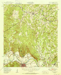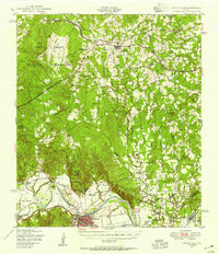
1948 Map of Smithville
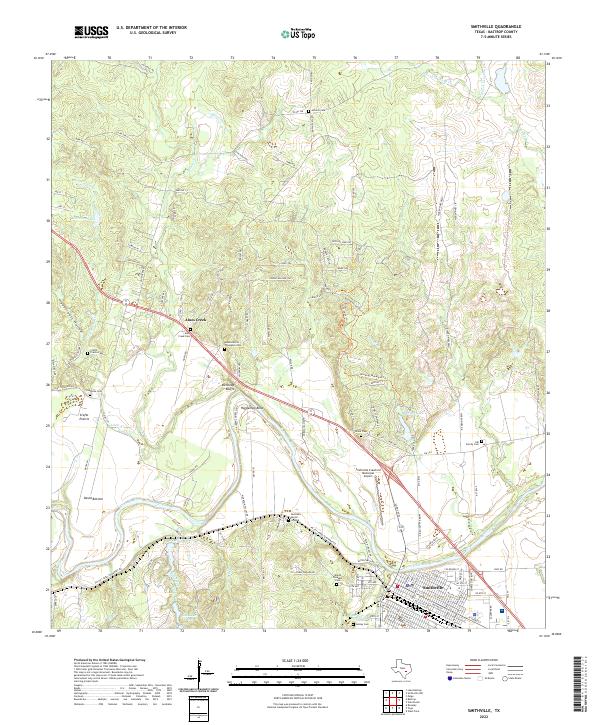
USGS Topo · Published 1956About this map
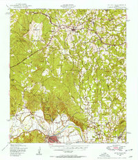
The Colorado River carves a sweeping path through this Central Texas landscape, defining the fertile lowlands of David Bottom and the sharp turn at Hardeman Bend. In the years following World War II, the massive Camp Swift Military Reservation dominates the northwestern quadrant, its boundary lines etched across the wooded terrain north of Bastrop State Park. This era shows a transition between the old rural economy and post-war land use, with small communities like Paige and Winchester linked by the Southern Pacific and Missouri Kansas Texas railroads.
Find a feature on this map
55 named features on this map. Tap any name to fly to it.
Don’t see what you’re looking for? This feature index may not catch every label — zoom into the map to look around manually.
Map Details
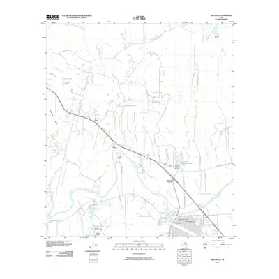
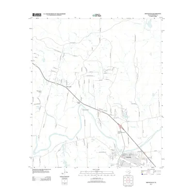
Editions of this 1948 Smithville Map
2 editions found
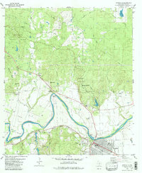
Historical Maps of Smithville Through Time
8 maps found