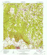
1948 Map of Smithville
USGS Topo · Published 1956About this map
Camp Swift Military Reservation dominates the northwestern corner of this Central Texas landscape, established during a decade of transition for the region's rural character. Southward, the Colorado River carves a deep path through the terrain, creating distinct landforms such as Hardeman Bend and David Bottom near the town of Smithville. The area's agricultural and social foundations are evidenced by a dense network of country schools and churches, including Ridgeway Sch and Ch and Mesquite Ch, alongside family-named cemeteries like Dixon Cem and Burkhardt Cem.
Find a feature on this map
63 named features on this map. Tap any name to fly to it.
Don’t see what you’re looking for? This feature index may not catch every label — zoom into the map to look around manually.
Map Details
Editions of this 1948 Smithville Map
2 editions found
Other maps of this area

1885 · Bastrop
USGS Topo · 1:125,000

1893 · Bastrop
USGS Topo · 1:125,000

1901 · Flatonia
USGS Topo · 1:125,000

1904 · Bastrop
USGS Topo · 1:125,000

1919 · Giddings
USGS Topo · 1:62,500

1919 · Dime Box
USGS Topo · 1:62,500

1948 · Smithville
USGS Topo · 1:62,500

1948 · Elgin
USGS Topo · 1:62,500

1948 · Bastrop
USGS Topo · 1:62,500

1948 · Lexington
USGS Topo · 1:62,500