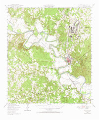
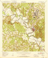
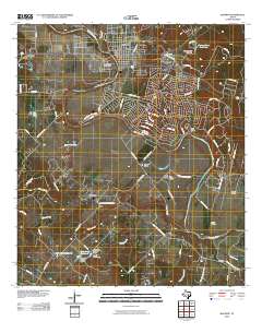
1948 Map of Bastrop
USGS Topo · Published 1972About this map
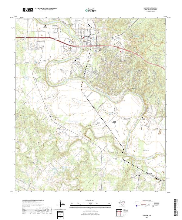
The Colorado River meanders through the heart of this post-war Texas landscape, carving distinct features like Wilbargers Bend, Hemphill Bend, and Powell Bend. This 1948 survey shows a rural society organized around small communities and family-named land features, including Hemphill Prairie and David Bottom. Significant land use is marked by the sprawling Camp Swift Military Reservation in the northeast and the established Bastrop State Park south of the city center.
Find a feature on this map
73 named features on this map. Tap any name to fly to it.
Don’t see what you’re looking for? This feature index may not catch every label — zoom into the map to look around manually.
Map Details
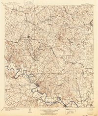
Editions of this 1948 Bastrop Map
This is the sole edition of this map. No revisions or reprints were ever made.
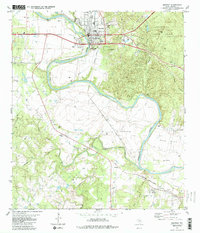
Historical Maps of Bastrop Through Time
11 maps found

1885 Bastrop
Bastrop County, TX

1893 Bastrop
Bastrop County, TX
1904 Bastrop
Bastrop County, TX
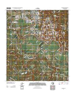
1948 Bastrop
Bastrop County, TX
1950 Bastrop
Bastrop County, TX
1982 Bastrop
Bastrop County, TX
2010 Bastrop
Bastrop County, TX
2013 Bastrop
Bastrop County, TX
2016 Bastrop
Bastrop County, TX
2019 Bastrop
Bastrop County, TX
2022 Bastrop
Bastrop County, TX