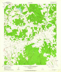
1960 Map of Tanglewood
USGS Topo · Published 1962About this map
The Southern Pacific railroad corridor serves as the primary structural spine of this central Texas landscape, connecting the small settlements of Tanglewood and Pleasant Grove during the early 1960s. The terrain is defined by a dense network of tributaries, including the serpentine paths of East Yegua Creek and Brushy Creek, which drain toward the Burleson and Lee County line. While the higher ground is characterized by extensive wooded areas and scattered homesteads, the lowlands around Sand Lake and Marsh Hollow highlight the drainage patterns typical of this region.
Find a feature on this map
30 named features on this map. Tap any name to fly to it.
Don’t see what you’re looking for? This feature index may not catch every label — zoom into the map to look around manually.
Map Details
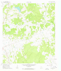
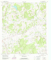
Editions of this 1960 Tanglewood Map
3 editions found
Other maps of this area

1885 · Taylor
USGS Topo · 1:125,000

1885 · Bastrop
USGS Topo · 1:125,000

1887 · Taylor
USGS Topo · 1:125,000

1893 · Bastrop
USGS Topo · 1:125,000

1894 · Taylor
USGS Topo · 1:125,000

1904 · Bastrop
USGS Topo · 1:125,000

1919 · Dime Box
USGS Topo · 1:62,500

1948 · Lexington
USGS Topo · 1:62,500

1950 · Lexington
USGS Topo · 1:62,500

1954 · Austin
USGS Topo · 1:250,000