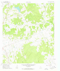
1960 Map of Tanglewood
USGS Topo · Published 1962About this map
Tanglewood and its surrounding countryside in Lee County are defined by a network of seasonal streams and early industrial extraction sites during the early 1960s. The landscape is characterized by the winding courses of East Yeuga Creek and Brushy Creek, which drain a region of small farms and scattered homesteads. For genealogists, the map is particularly rich in family and community landmarks, including the Pleasant Grove Ch and several burial grounds like Mt Zion Cem and the German Cem.
Find a feature on this map
25 named features on this map. Tap any name to fly to it.
Don’t see what you’re looking for? This feature index may not catch every label — zoom into the map to look around manually.
Map Details
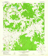
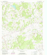
Editions of this 1960 Tanglewood Map
3 editions found
Other maps of this area

1885 · Taylor
USGS Topo · 1:125,000

1885 · Bastrop
USGS Topo · 1:125,000

1887 · Taylor
USGS Topo · 1:125,000

1893 · Bastrop
USGS Topo · 1:125,000

1894 · Taylor
USGS Topo · 1:125,000

1904 · Bastrop
USGS Topo · 1:125,000

1919 · Dime Box
USGS Topo · 1:62,500

1948 · Lexington
USGS Topo · 1:62,500

1950 · Lexington
USGS Topo · 1:62,500

1954 · Austin
USGS Topo · 1:250,000