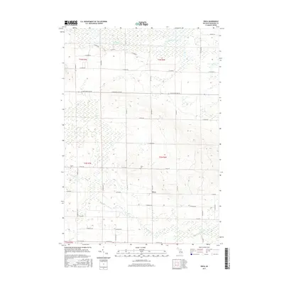
2017 Map of Dinca
USGS Topo · Published 2017About this map
Dinca sits near the heart of this Missaukee County landscape, where the headwaters of several drainages shape the local geography. The northern reaches are defined by the winding course of the W Br Muskegon River, which flows through expansive wetland areas such as Seanlan Marsh and Selfuse Marsh. This network of water continues south with Butterfield Cr and Mosquito Cr, illustrating the complex hydrology that influenced early settlement patterns in Aetna Township. Local history is anchored by the presence of Aetna Cem and Reeder Cem, positioned along a grid of section-line roads that includes E Kelly Rd and W Houghton Lake Rd. These landmarks and burial grounds provide valuable reference points for genealogists and researchers tracing families who established themselves in this pocket of northern Michigan.
Find a feature on this map
50 named features on this map. Tap any name to fly to it.
Don’t see what you’re looking for? This feature index may not catch every label — zoom into the map to look around manually.
Map Details
Editions of this 2017 Dinca Map
This is the sole edition of this map. No revisions or reprints were ever made.
Other maps of this area

1954 · Traverse City
USGS Topo · 1:250,000

1956 · Houghton Lake
USGS Topo · 1:62,500

1956 · Lake City
USGS Topo · 1:62,500

1957 · Harrison
USGS Topo · 1:62,500

1957 · Marion
USGS Topo · 1:62,500

1958 · Traverse City
USGS Topo · 1:250,000

1983 · Cadillac
USGS Topo · 1:100,000

1983 · Moddersville
USGS Topo · 1:25,000

1983 · Stittsville
USGS Topo · 1:24,000

1983 · Lake City
USGS Topo · 1:25,000
Featured Places
- Aetna Township, MI
- Keelans Corner, MI
- Riverside Township, MI
- West Branch Township, MI
- Reeder Township, MI