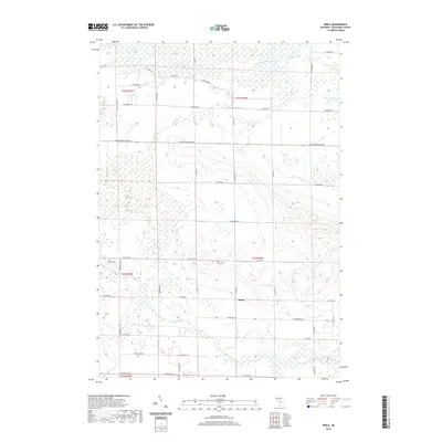
2019 Map of Dinca
USGS Topo · Published 2019About this map
Dinca sits within a landscape defined by the winding waters of the W Br Muskegon River and the extensive wetlands of Scanlan Marsh and Seafuse Marsh. This Missaukee County survey reveals a rural network of roads including W Houghton Lake Rd and E Kelly Rd, which connect scattered settlements and local landmarks. Genealogists will find particular value in the presence of Aetna Cem and Reeder Cem, while the course of Butterfield Cr and Mosquito Cr highlights the natural drainage patterns of this northern Michigan territory. The map illustrates the transition from the low-lying marshlands in the north to the more structured road grid surrounding the Dinca area, reflecting the long-term land division of the Public Land Survey System within townships like T22N R6W.
Find a feature on this map
50 named features on this map. Tap any name to fly to it.
Don’t see what you’re looking for? This feature index may not catch every label — zoom into the map to look around manually.
Map Details
Editions of this 2019 Dinca Map
This is the sole edition of this map. No revisions or reprints were ever made.
Other maps of this area

1954 · Traverse City
USGS Topo · 1:250,000

1956 · Houghton Lake
USGS Topo · 1:62,500

1956 · Lake City
USGS Topo · 1:62,500

1957 · Harrison
USGS Topo · 1:62,500

1957 · Marion
USGS Topo · 1:62,500

1958 · Traverse City
USGS Topo · 1:250,000

1983 · Cadillac
USGS Topo · 1:100,000

1983 · Moddersville
USGS Topo · 1:25,000

1983 · Stittsville
USGS Topo · 1:24,000

1983 · Lake City
USGS Topo · 1:25,000
Featured Places
- Aetna Township, MI
- Keelans Corner, MI
- Riverside Township, MI
- West Branch Township, MI
- Reeder Township, MI