
1956 Map of Dixfield
USGS Topo · Published 1958About this map
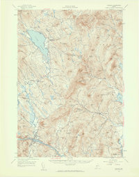
Mt Blue State Park dominates the northern landscape of this 1950s survey, surrounding the massive peaks of Mt Blue and Hurricane Mtn. The rugged interior is punctuated by isolated settlements and family-named landmarks like Masterman Hill and Gleason Mtn, reflecting a rural economy centered on the shoreline of Lake Webb. Further south, the Androscoggin River corridor serves as a vital artery for industrial activity, where the Maine Central Railroad skirts the edge of Dixfield and West Peru.
Find a feature on this map
97 named features on this map. Tap any name to fly to it.
Don’t see what you’re looking for? This feature index may not catch every label — zoom into the map to look around manually.
Map Details
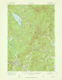
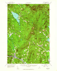
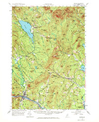
Editions of this 1956 Dixfield Map
5 editions found
Other maps of this area

1910 · Livermore
USGS Topo · 1:62,500

1911 · Bryant Pond
USGS Topo · 1:62,500

1911 · Buckfield
USGS Topo · 1:62,500

1912 · Livermore
USGS Topo · 1:62,500

1913 · Buckfield
USGS Topo · 1:62,500

1914 · Bryant Pond
USGS Topo · 1:62,500

1924 · Farmington
USGS Topo · 1:62,500

1926 · Dixfield
USGS Topo · 1:62,500

1927 · Rumford
USGS Topo · 1:48,000

1929 · Phillips
USGS Topo · 1:48,000