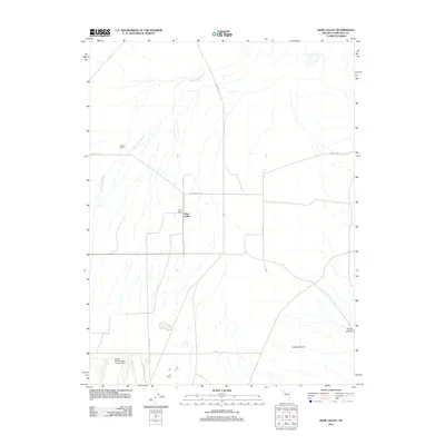
2011 Map of Dixie Valley
USGS Topo · Published 2011About this map
Dixie Valley is defined by its wide, arid basin and the seasonal path of Dixie Valley Wash, which drains through the center of this Churchill County landscape. Isolated ranching outposts such as Crazy K Ranch and Turley Ranch indicate the sparse settlement patterns of this remote interior valley. The presence of the Oxbow Geothermal Landing Strip reflects the region's specialized industrial and energy interests, supporting geothermal operations far from major population centers.
Find a feature on this map
15 named features on this map. Tap any name to fly to it.
Don’t see what you’re looking for? This feature index may not catch every label — zoom into the map to look around manually.
Map Details
Editions of this 2011 Dixie Valley Map
This is the sole edition of this map. No revisions or reprints were ever made.
Other maps of this area

1908 · Carson Sink
USGS Topo · 1:250,000

1910 · Carson Sink
USGS Topo · 1:250,000

1955 · Millett
USGS Topo · 1:250,000

1957 · Reno
USGS Topo · 1:250,000

1959 · Reno
USGS Topo · 1:250,000

1959 · Millett
USGS Topo · 1:250,000

1960 · Reno
USGS Topo · 1:250,000

1966 · Clan Alpine Ranch
USGS Topo · 1:62,500

1966 · Humboldt Salt Marsh
USGS Topo · 1:62,500

1966 · Dixie Hot Springs
USGS Topo · 1:62,500