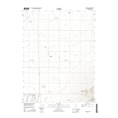
2014 Map of Dixie Valley
USGS Topo · Published 2014About this map
Dixie Valley sits at the heart of this Great Basin landscape, where a network of rural routes and family-named lanes defines the settlement pattern in the early 21st century. The map reveals a valley floor structured by a grid of thoroughfares including Settlement Rd, Ellis Ln, and Knittle Ln. These roads navigate the complex hydrology of the region, dominated by the Dixie Valley Wash which drains toward the expansive Humboldt Salt Marsh in the north.
Find a feature on this map
20 named features on this map. Tap any name to fly to it.
Don’t see what you’re looking for? This feature index may not catch every label — zoom into the map to look around manually.
Map Details
Editions of this 2014 Dixie Valley Map
This is the sole edition of this map. No revisions or reprints were ever made.
Other maps of this area

1908 · Carson Sink
USGS Topo · 1:250,000

1910 · Carson Sink
USGS Topo · 1:250,000

1955 · Millett
USGS Topo · 1:250,000

1957 · Reno
USGS Topo · 1:250,000

1959 · Reno
USGS Topo · 1:250,000

1959 · Millett
USGS Topo · 1:250,000

1960 · Reno
USGS Topo · 1:250,000

1966 · Clan Alpine Ranch
USGS Topo · 1:62,500

1966 · Humboldt Salt Marsh
USGS Topo · 1:62,500

1966 · Dixie Hot Springs
USGS Topo · 1:62,500