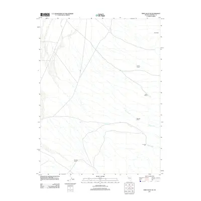
2011 Map of Dixie Valley SE
USGS Topo · Published 2011About this map
Horse Creek Ranch sits at the base of the Stillwater Range in this 2011 survey of Churchill County, Nevada. The landscape is defined by its deep alluvial drainage systems, with Horse Creek and Sagehen Creek flowing eastward from the mountain front toward the arid Dixie Valley floor. These seasonal watercourses have carved prominent geographic landmarks such as Sage Hen Canyon, Paiute Canyon, and Dummy Canyon. To the north, the solitary profile of Black Butte rises above the basin, serving as a distinct navigational point for those traversing the valley. The map reveals a sparse network of roads and tracks that link the remote ranching operations and canyon mouths, reflecting the enduring cattle-rearing economy of this high-desert environment. Further south, Hercules Canyon provides another dramatic geological break in the shoreline of the ancient prehistoric lakebeds that once filled the valley.
Find a feature on this map
8 named features on this map. Tap any name to fly to it.
Don’t see what you’re looking for? This feature index may not catch every label — zoom into the map to look around manually.
Map Details
Editions of this 2011 Dixie Valley SE Map
This is the sole edition of this map. No revisions or reprints were ever made.
Other maps of this area

1908 · Carson Sink
USGS Topo · 1:250,000

1910 · Carson Sink
USGS Topo · 1:250,000

1955 · Millett
USGS Topo · 1:250,000

1957 · Reno
USGS Topo · 1:250,000

1959 · Reno
USGS Topo · 1:250,000

1959 · Millett
USGS Topo · 1:250,000

1960 · Reno
USGS Topo · 1:250,000

1966 · Clan Alpine Ranch
USGS Topo · 1:62,500

1969 · Camp Creek Canyon
USGS Topo · 1:24,000

1972 · Pirouette Mtn
USGS Topo · 1:24,000