
1969 Map of Camp Creek Canyon
USGS Topo · Published 1972About this map
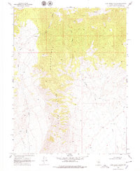
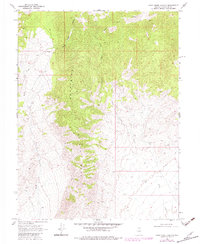
The Clan Alpine Mountains dominate this high-desert landscape in central Nevada, where the drainage systems of Bench Creek and Camp Creek carve through the arid terrain. Settlement in this region was sparse during the late 1960s, defined primarily by isolated outposts like the Bench Creek Ranch and the functional Lone Tree Well 5367. The presence of several Jeep Trails cutting across the canyons suggests a reliance on off-road transport for ranching and resource management in an area largely devoid of paved infrastructure.
Find a feature on this map
11 named features on this map. Tap any name to fly to it.
Don’t see what you’re looking for? This feature index may not catch every label — zoom into the map to look around manually.
Map Details
Editions of this 1969 Camp Creek Canyon Map
3 editions found
Other maps of this area

1908 · Carson Sink
USGS Topo · 1:250,000

1910 · Carson Sink
USGS Topo · 1:250,000

1955 · Millett
USGS Topo · 1:250,000

1957 · Reno
USGS Topo · 1:250,000

1959 · Reno
USGS Topo · 1:250,000

1959 · Millett
USGS Topo · 1:250,000

1960 · Reno
USGS Topo · 1:250,000

1966 · Clan Alpine Ranch
USGS Topo · 1:62,500

1969 · Cold Springs
USGS Topo · 1:24,000

1969 · Desatoya Peak
USGS Topo · 1:24,000