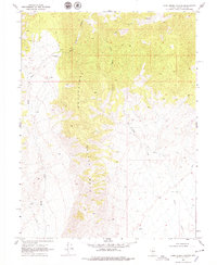
1969 Map of Camp Creek Canyon
USGS Topo · Published 1979About this map
The Clan Alpine Mountains dominate this 1969 field-checked survey of Churchill County, Nevada, revealing a high-desert landscape defined by complex drainage systems and isolated outposts. High among the peaks, Camp Creek Canyon and its associated Camp Creek carve through the terrain, joined by the East Fork and Canyon Creek. This map is particularly valuable for its depiction of the Bench Creek Ranch, a solitary settlement marker in a landscape otherwise navigated primarily by a network of jeep trails. The western edge of the mountains gives way to the lower-elevation Bench, where Bench Creek flows toward the basin. The topographical detail provides a clear look at the water sources and primitive transportation routes that supported livestock and prospecting in this part of the Great Basin during the late 1960s.
Find a feature on this map
9 named features on this map. Tap any name to fly to it.
Don’t see what you’re looking for? This feature index may not catch every label — zoom into the map to look around manually.
Map Details
Editions of this 1969 Camp Creek Canyon Map
3 editions found
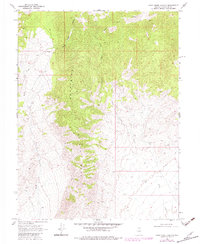
Other maps of this area

1908 · Carson Sink
USGS Topo · 1:250,000

1910 · Carson Sink
USGS Topo · 1:250,000

1955 · Millett
USGS Topo · 1:250,000

1957 · Reno
USGS Topo · 1:250,000

1959 · Reno
USGS Topo · 1:250,000

1959 · Millett
USGS Topo · 1:250,000

1960 · Reno
USGS Topo · 1:250,000

1966 · Clan Alpine Ranch
USGS Topo · 1:62,500

1969 · Camp Creek Canyon
USGS Topo · 1:24,000

1969 · Cold Springs
USGS Topo · 1:24,000