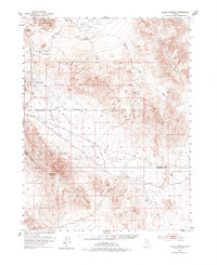
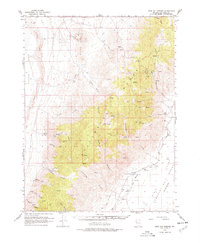
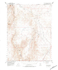
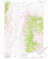
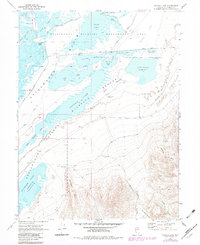
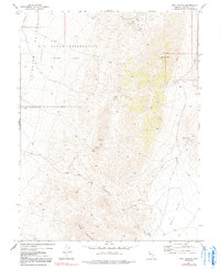
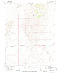
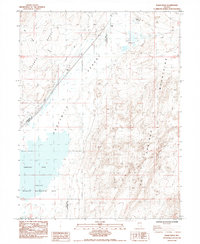
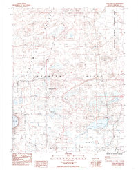
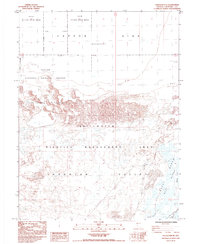
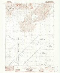
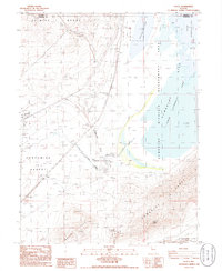
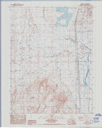
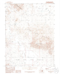
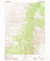
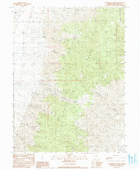
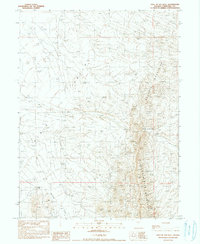
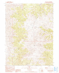
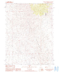
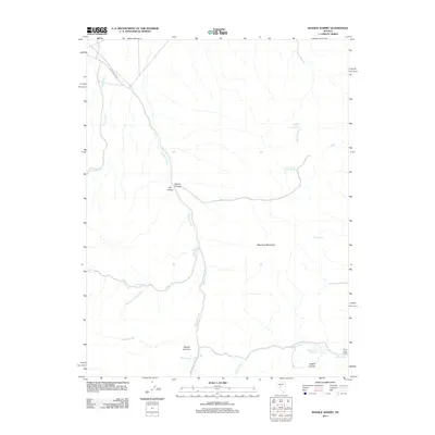
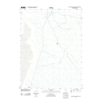
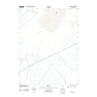
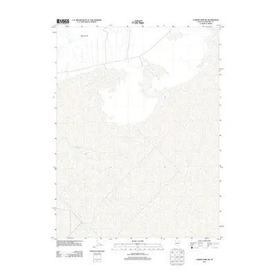
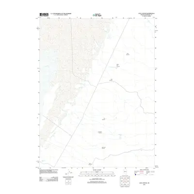
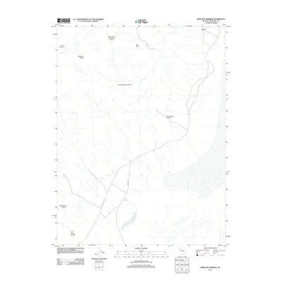
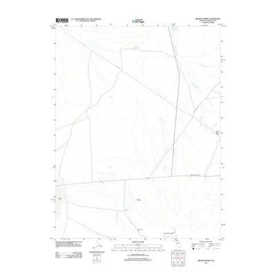
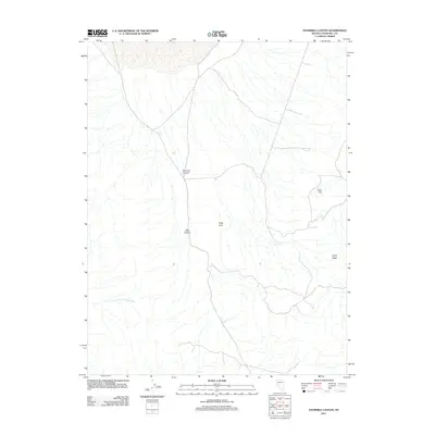
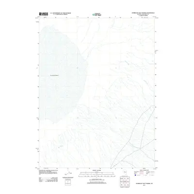
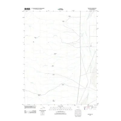
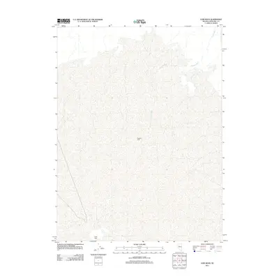
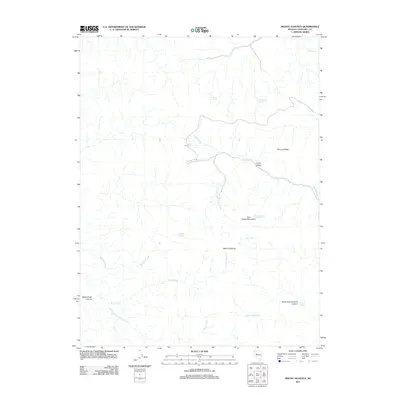
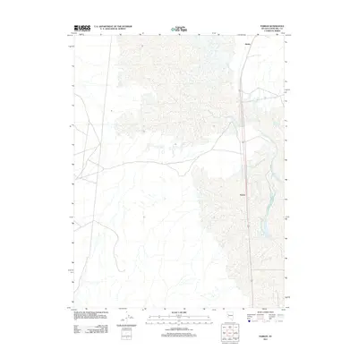
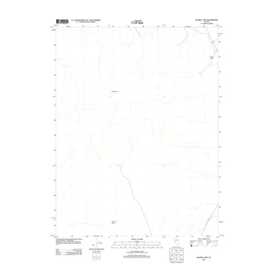
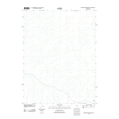
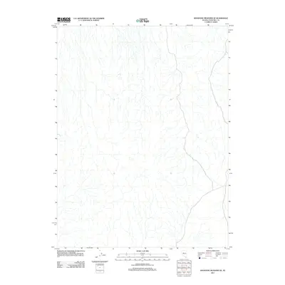
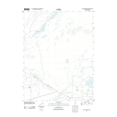
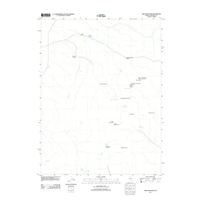
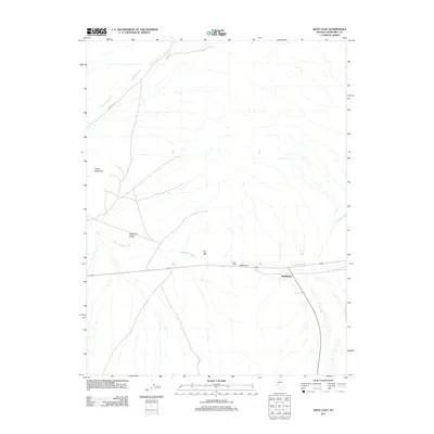
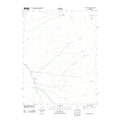
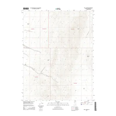
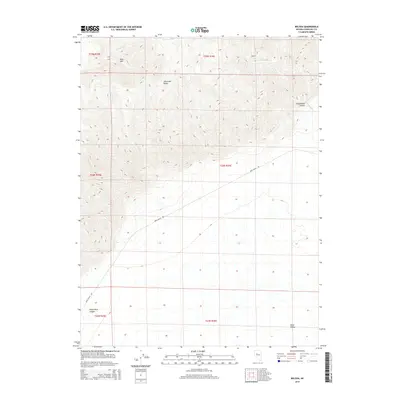
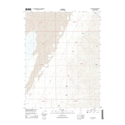
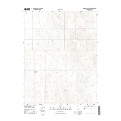
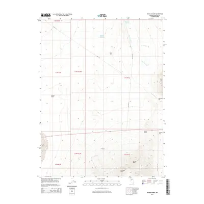
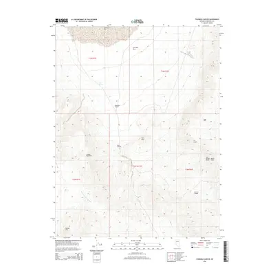
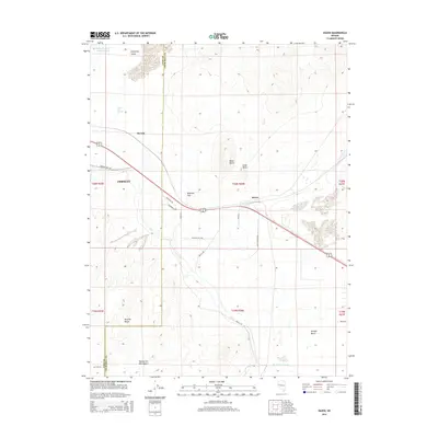
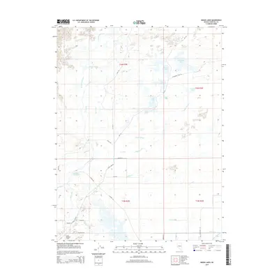
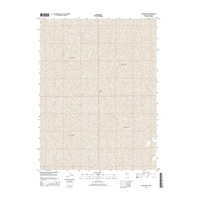
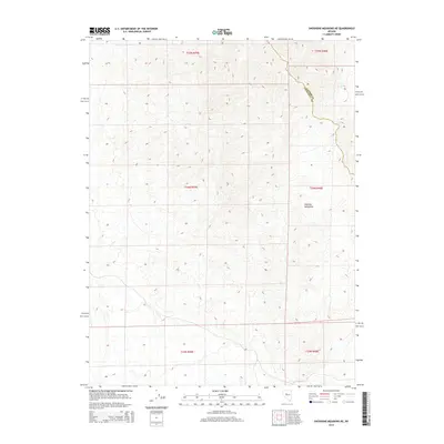
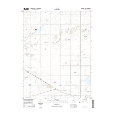
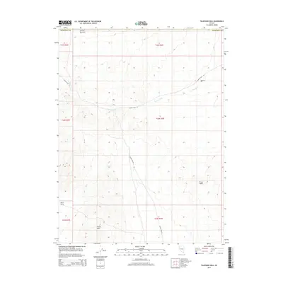
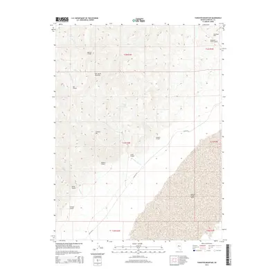
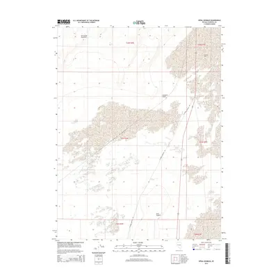
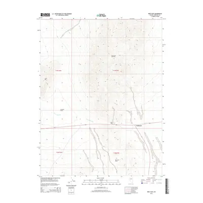
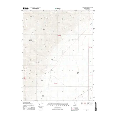
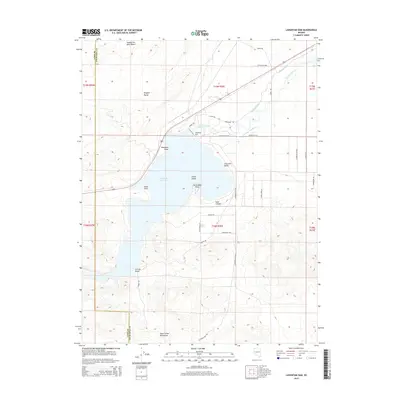
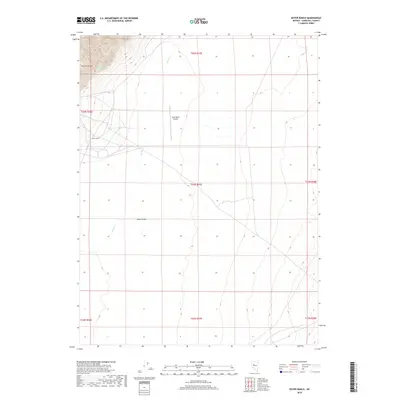
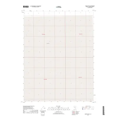
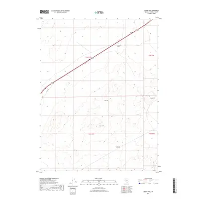
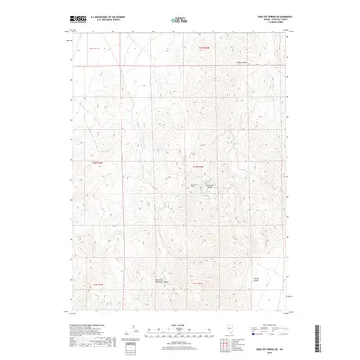
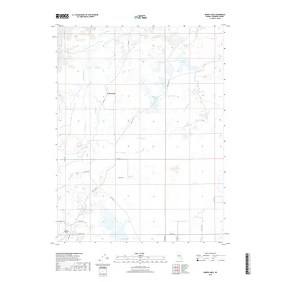
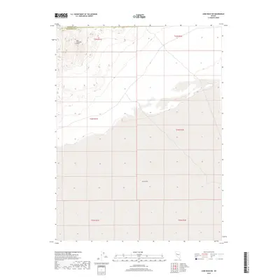
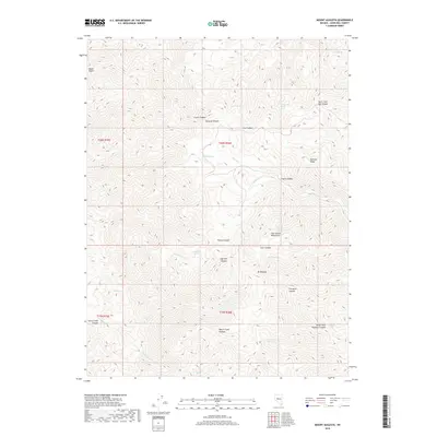
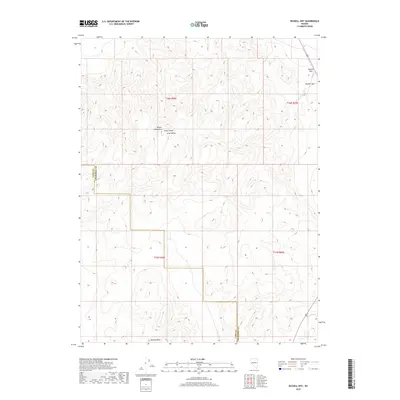
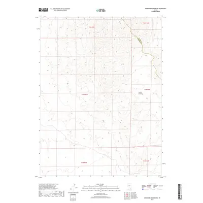
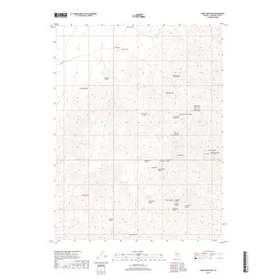
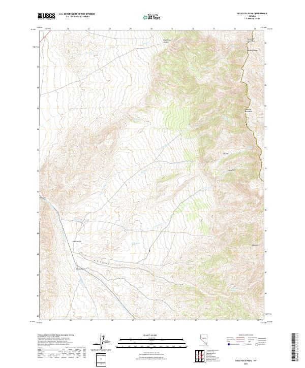
1969 Map of Desatoya Peak
USGS Topo · Published 1972About this map
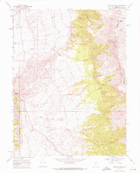
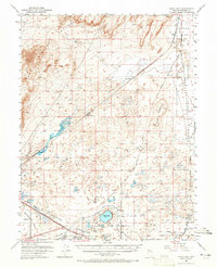
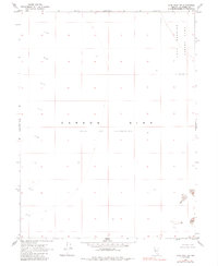
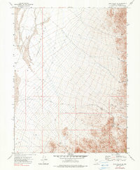
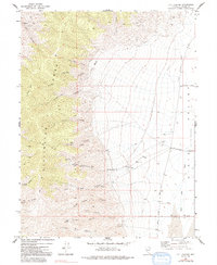
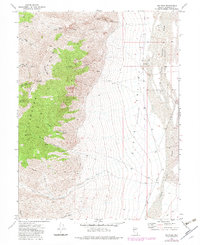
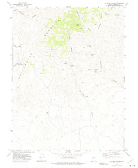
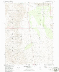
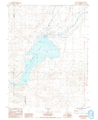
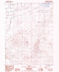
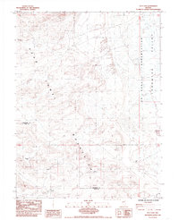
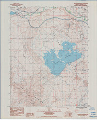
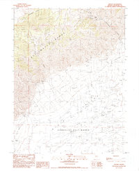
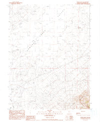
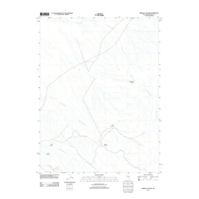
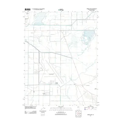
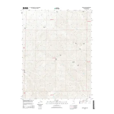
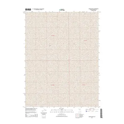
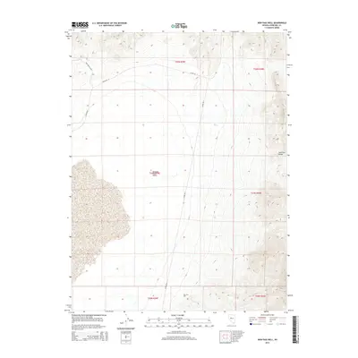
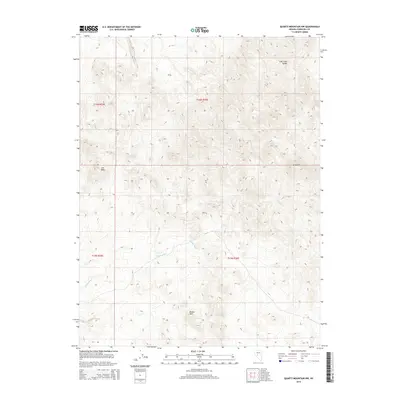
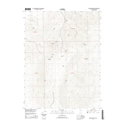
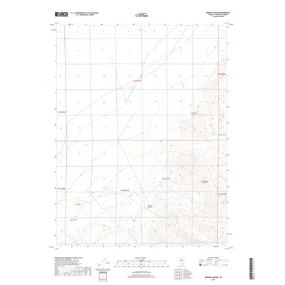
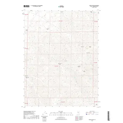
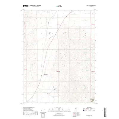
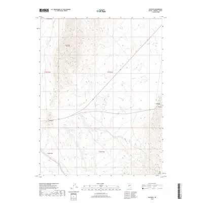
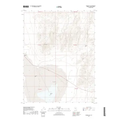
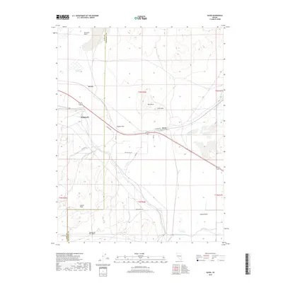
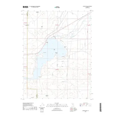
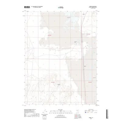
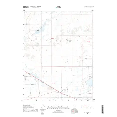
Eastgate serves as the primary landmark in this high-altitude landscape where the western plains meet the rising Desatoya Mountains. Situated at the boundary of Churchill and Lander counties, the terrain is defined by dramatic elevation changes culminating at Desatoya Peak and Bald Mountain. Water is a scarce but vital resource, mapped through a network of isolated springs such as Park Canyon Spring, Big Den Spring, and Dry Canyon Spring. These water sources, alongside seasonal flows like Rock Creek and Buffalo Creek, dictate the historical movement through the area, long before more modern infrastructure. A single Gravel Pit and various primitive routes, including a Jeep Trail, suggest the limited industrial footprint and remote nature of the region in the late 1960s. The map clearly delineates the complex drainage systems of Little Den Canyon and Park Canyon, providing a look at the natural geography of the Nevada interior.
Find a feature on this map
22 named features on this map. Tap any name to fly to it.
Don’t see what you’re looking for? This feature index may not catch every label — zoom into the map to look around manually.
Map Details
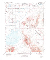
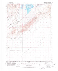
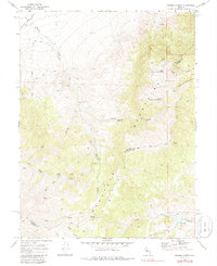
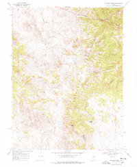
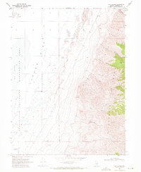
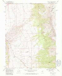
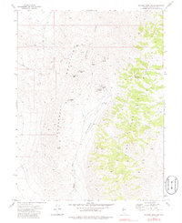
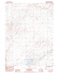
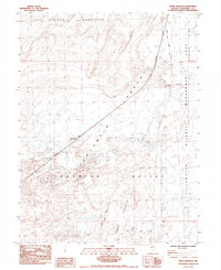
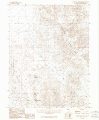
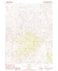
Editions of this 1969 Desatoya Peak Map
2 editions found
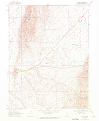
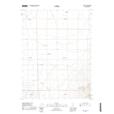
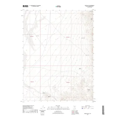
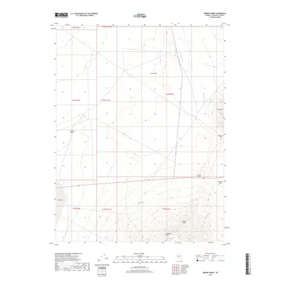
Historical Maps of Churchill County Through Time
433 maps found
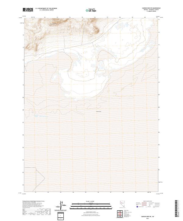
1908 Carson Sink
Churchill County, NV
1910 Carson Sink
Churchill County, NV
1950 Stillwater
Churchill County, NV
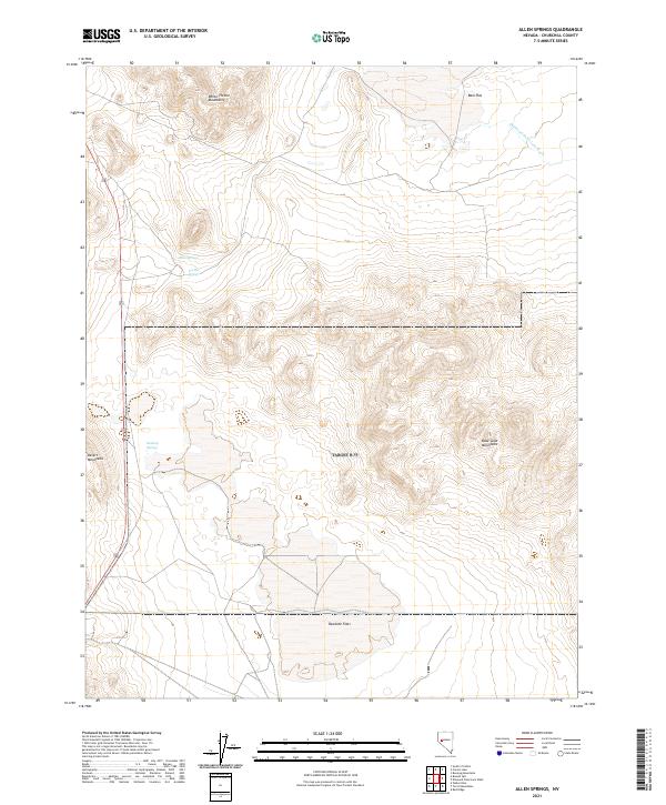
1951 Allen Springs
Churchill County, NV
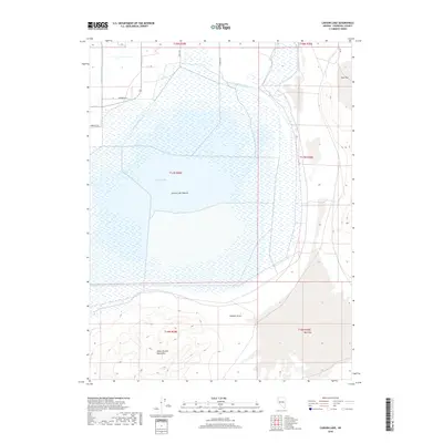
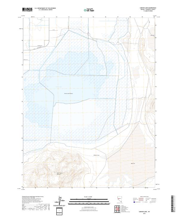
1951 Carson Lake
Churchill County, NV
1951 Carson Sink
Churchill County, NV
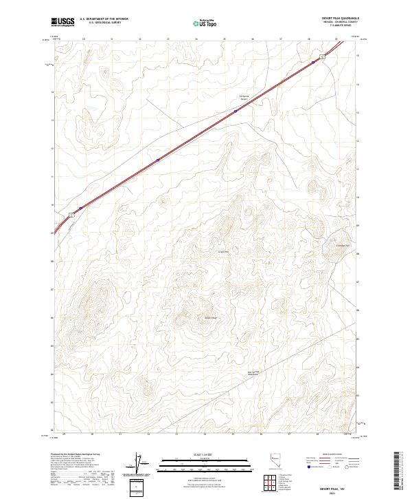
1951 Desert Peak
Churchill County, NV
1951 Soda Lake
Churchill County, NV
1957 Fireball Ridge
Churchill County, NV
1957 Two Tips
Churchill County, NV
1966 Clan Alpine Ranch
Churchill County, NV
1966 Dixie Hot Springs
Churchill County, NV
1966 Edwards Creek Valley
Churchill County, NV
1966 Humboldt Salt Marsh
Churchill County, NV
1966 Shoshone Meadows
Churchill County, NV
1967 Fireball Ridge
Churchill County, NV
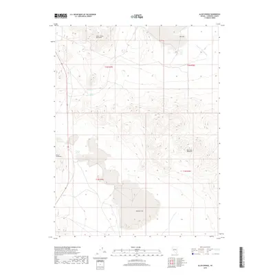
1969 Basque Summit
Churchill County, NV
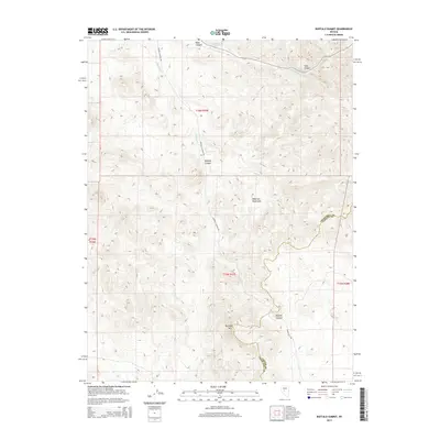
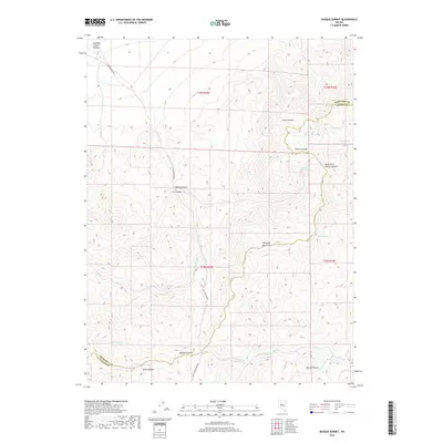
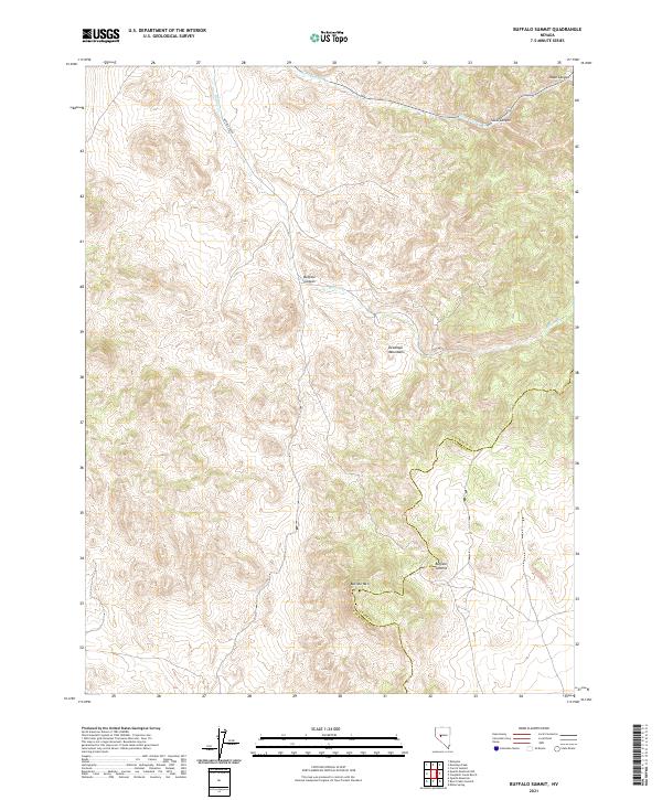
1969 Buffalo Summit
Churchill County, NV
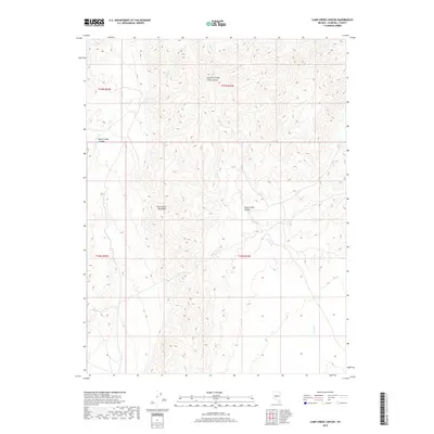
1969 Camp Creek Canyon
Churchill County, NV
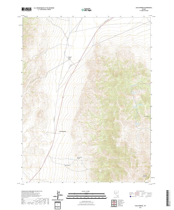
1969 Cold Springs
Churchill County, NV
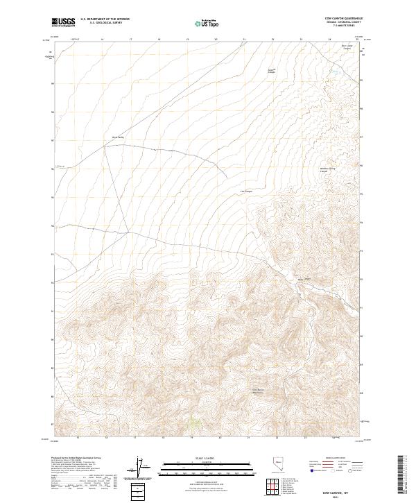
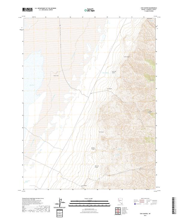
1969 Cox Canyon
Churchill County, NV
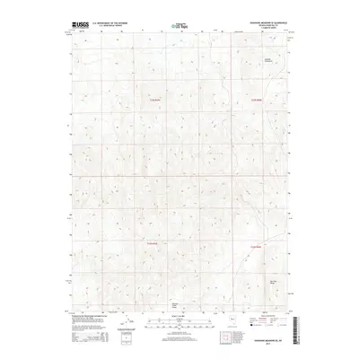
1969 Desatoya Peak
Churchill County, NV
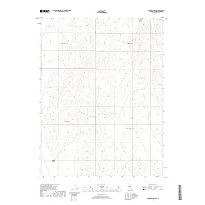
1969 Eastgate
Churchill County, NV
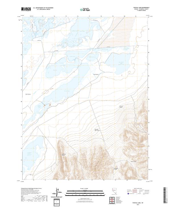
1969 Foxtail Lake
Churchill County, NV
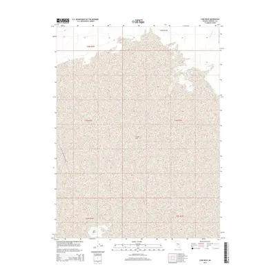
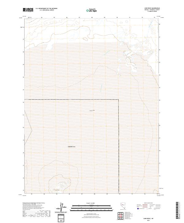
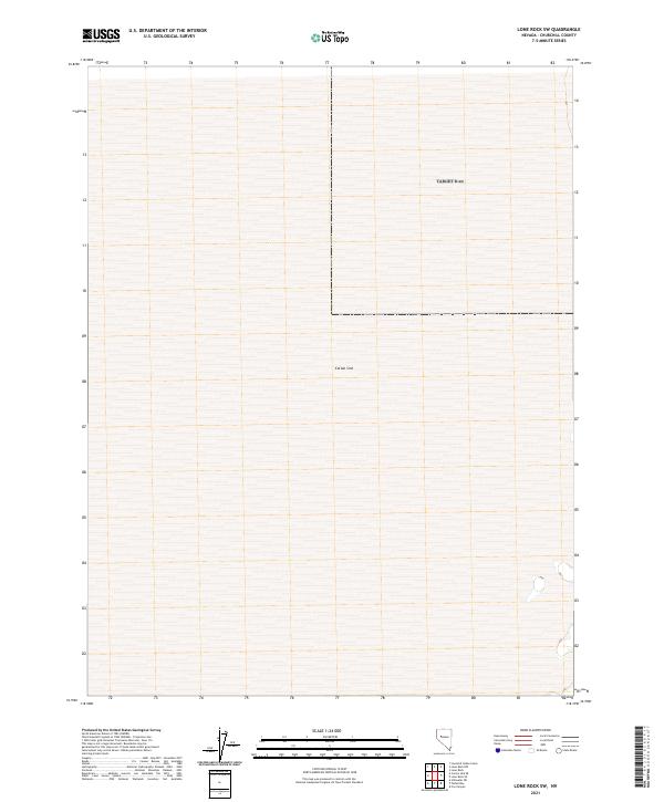
1969 Lone Rock
Churchill County, NV
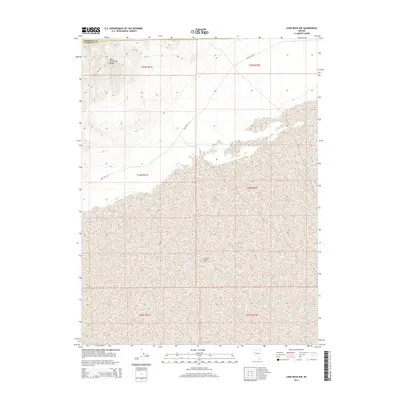
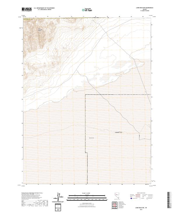
1969 Lone Rock NW
Churchill County, NV
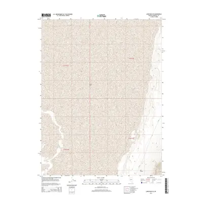
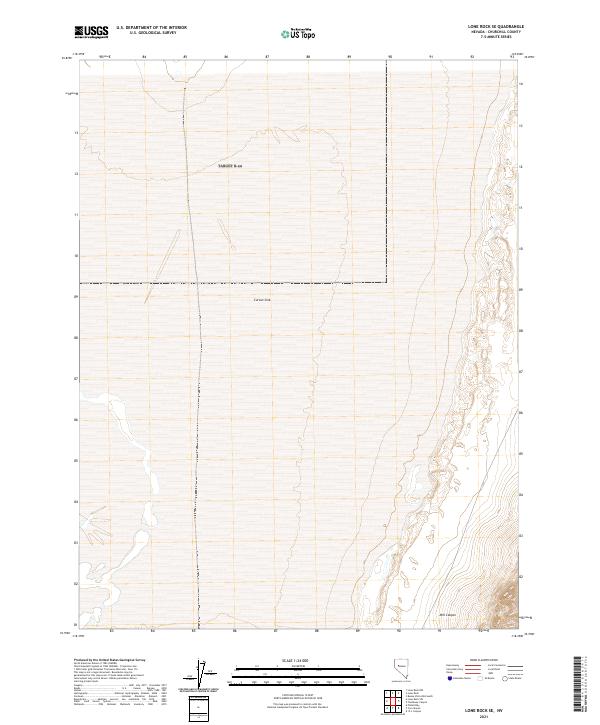
1969 Lone Rock SE
Churchill County, NV
1969 Lone Rock SW
Churchill County, NV
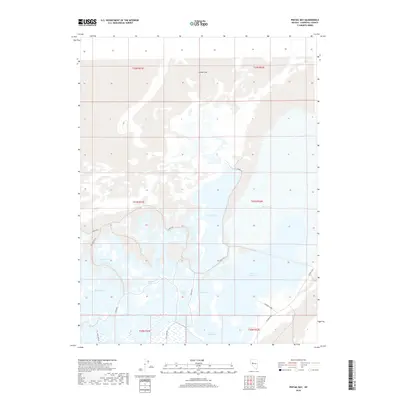
1969 Pintail Bay
Churchill County, NV
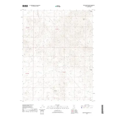
1969 Quartz Mtn. NW
Churchill County, NV
1969 Table Mtn
Churchill County, NV
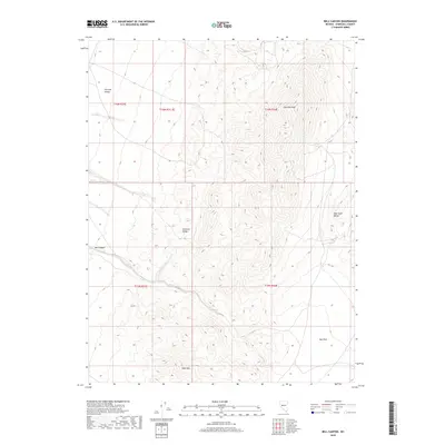
1972 Bell Canyon
Churchill County, NV
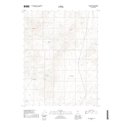
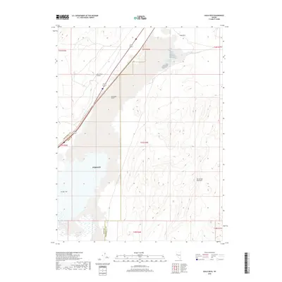
1972 Bell Mountain
Churchill County, NV
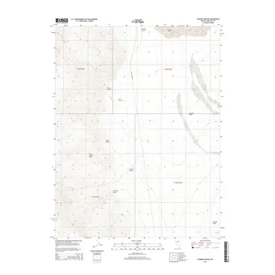
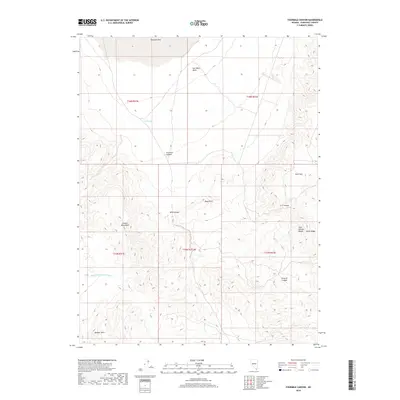
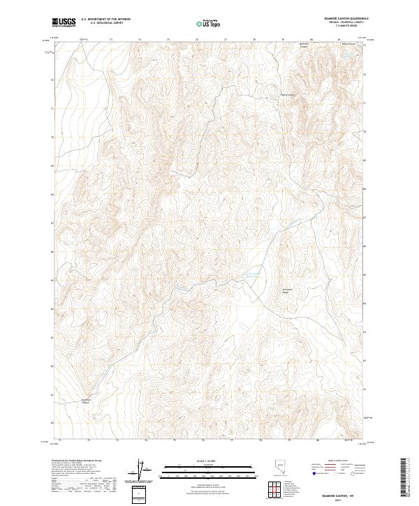
1972 Diamond Canyon
Churchill County, NV
1972 Dixie Valley
Churchill County, NV
1972 Dixie Valley SE
Churchill County, NV
1972 Drumm Summit
Churchill County, NV
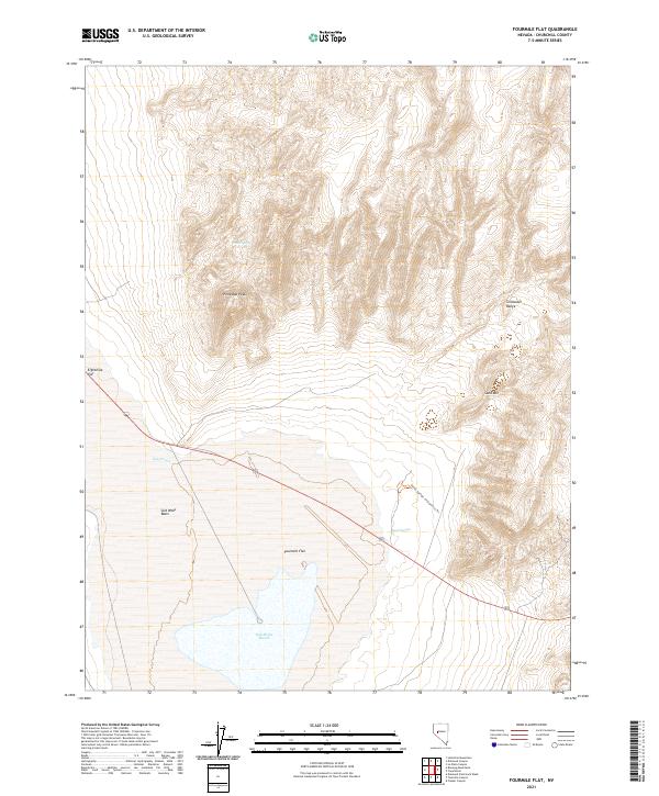
1972 Fourmile Flat
Churchill County, NV
1972 Frenchman
Churchill County, NV
1972 I X L Canyon
Churchill County, NV
1972 Job Peak
Churchill County, NV
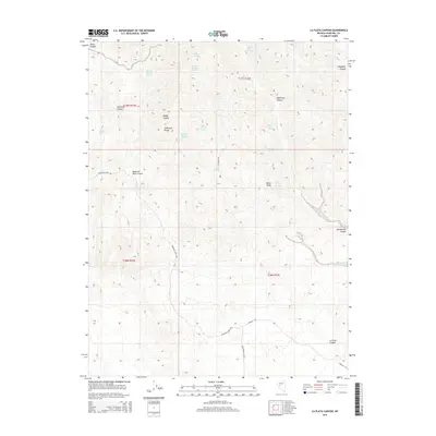
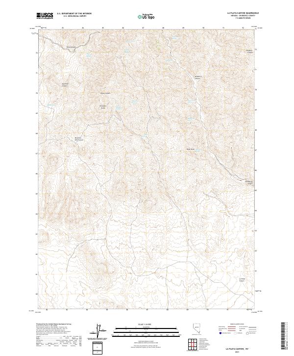
1972 La Plata Canyon
Churchill County, NV
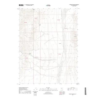
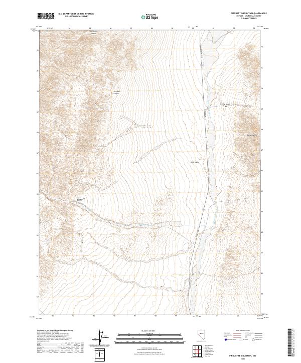
1972 Pirouette Mtn
Churchill County, NV
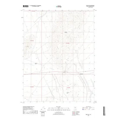
1972 West Gate
Churchill County, NV
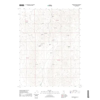
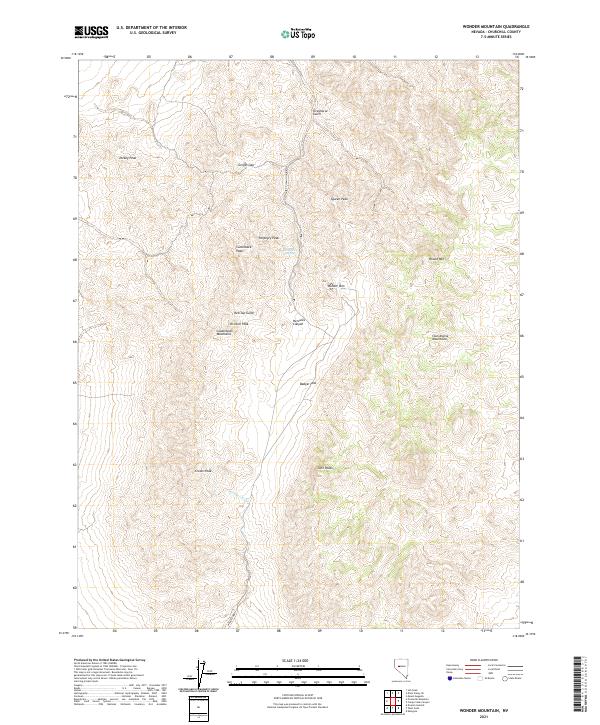
1972 Wonder Mountain
Churchill County, NV
1979 Carson Sink
Churchill County, NV
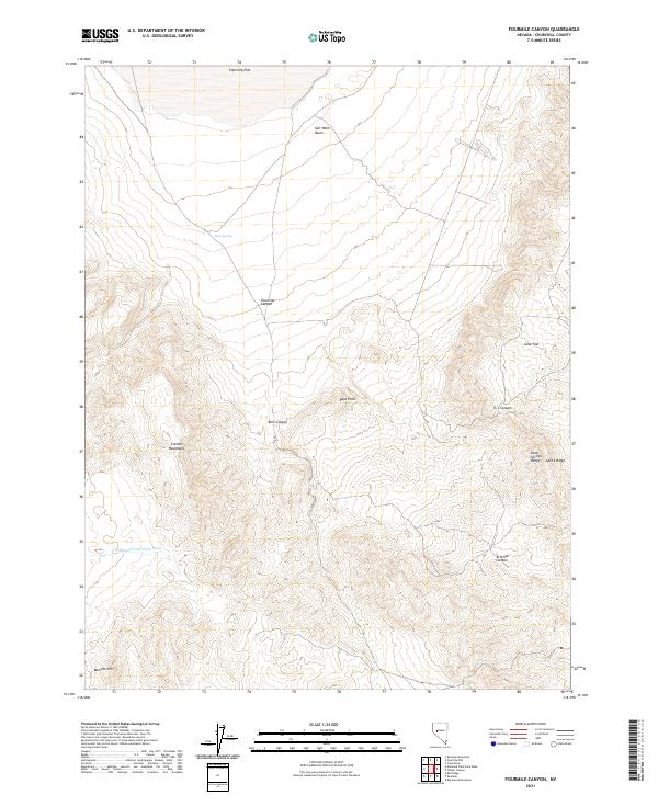
1979 Fourmile Canyon
Churchill County, NV
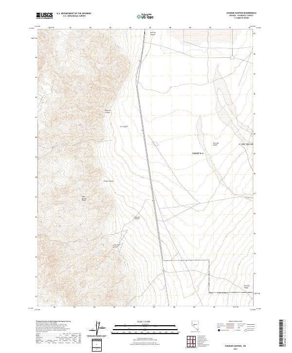
1980 Chukar Canyon
Churchill County, NV
1983 Edwards Creek Valley
Churchill County, NV
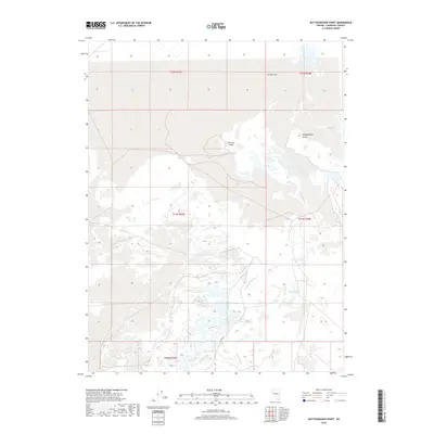
1985 Battleground Point
Churchill County, NV

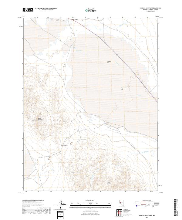
1985 Bunejug Mts.
Churchill County, NV
1985 Carson Lake
Churchill County, NV
1985 Eagle Rock
Churchill County, NV
1985 Grimes Point
Churchill County, NV
1985 Hazen
Churchill County, NV
1985 Indian Lakes
Churchill County, NV
1985 Lahontan Dam
Churchill County, NV
1985 Lahontan Mts
Churchill County, NV
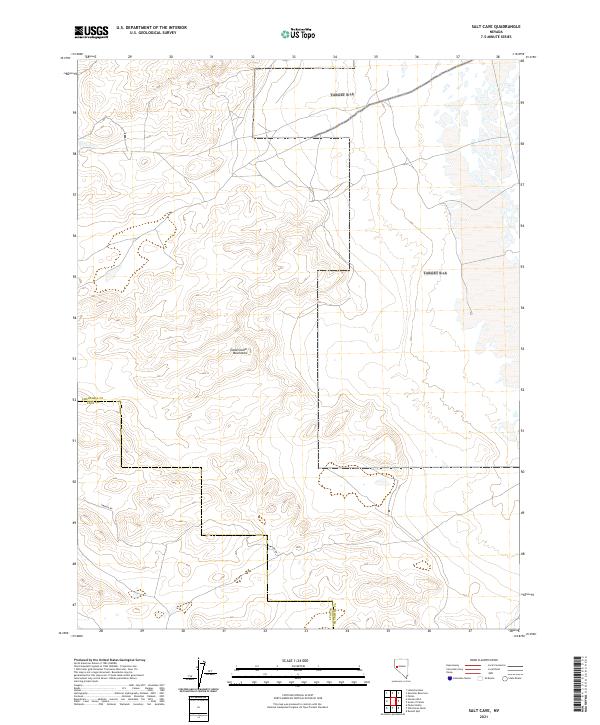
1985 Salt Cave
Churchill County, NV
1985 Sheckler Reservoir
Churchill County, NV
1985 Soda Lake East
Churchill County, NV
1985 Soda Lake NW
Churchill County, NV
1985 Soda Lake West
Churchill County, NV

1985 South of Fallon
Churchill County, NV
1985 Stillwater
Churchill County, NV
1985 Stillwater NE
Churchill County, NV
1985 Upsal Hogback
Churchill County, NV
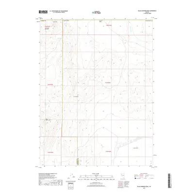
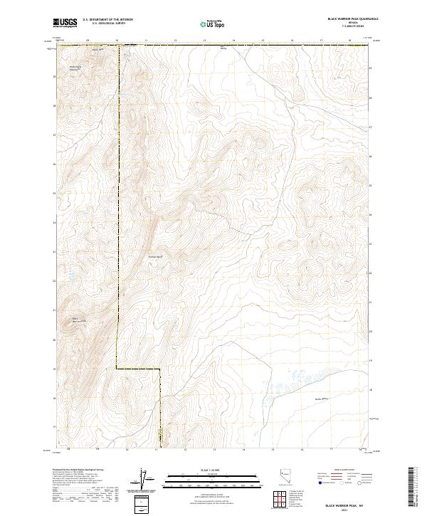
1986 Black Warrior Peak
Churchill County, NV
1986 Carson Sink SE
Churchill County, NV
1986 Carson Sink SW
Churchill County, NV
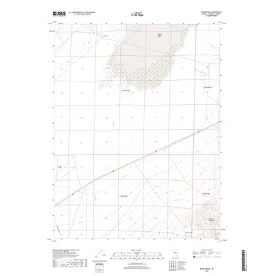
1986 Desert Peak
Churchill County, NV
1986 Hot Springs Flat
Churchill County, NV

1986 Jessup
Churchill County, NV
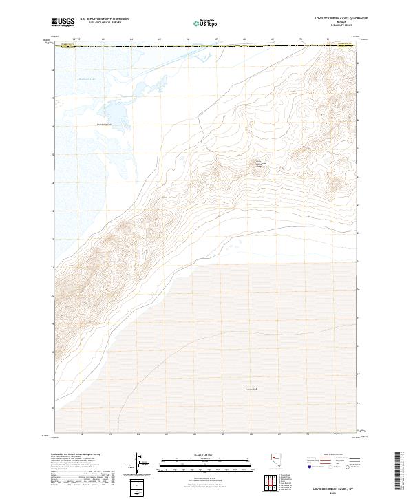
1986 Lovelock Indian Caves
Churchill County, NV
1986 Ocala
Churchill County, NV
1986 Parran
Churchill County, NV
1986 Telephone Well
Churchill County, NV
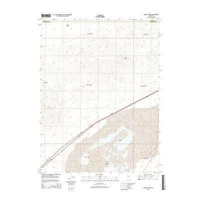
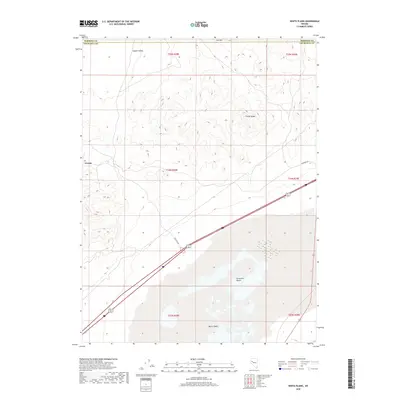
1986 White Plains
Churchill County, NV
1987 Allen Springs
Churchill County, NV
1987 Diamond Field Jack Wash
Churchill County, NV
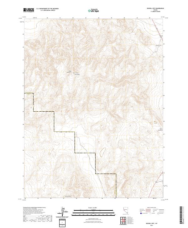
1987 Russell Spit
Churchill County, NV
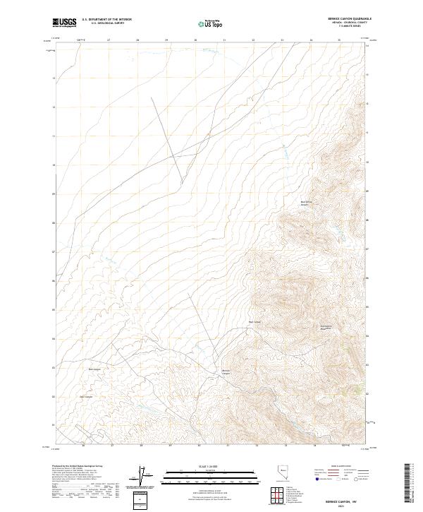
1990 Bernice Canyon
Churchill County, NV
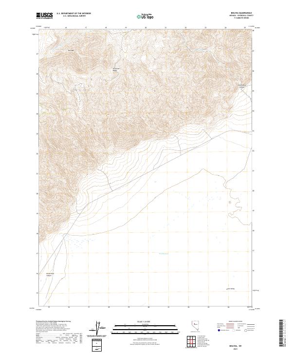
1990 Bolivia
Churchill County, NV
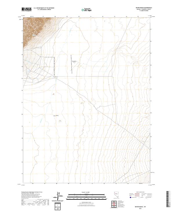
1990 Boyer Ranch
Churchill County, NV
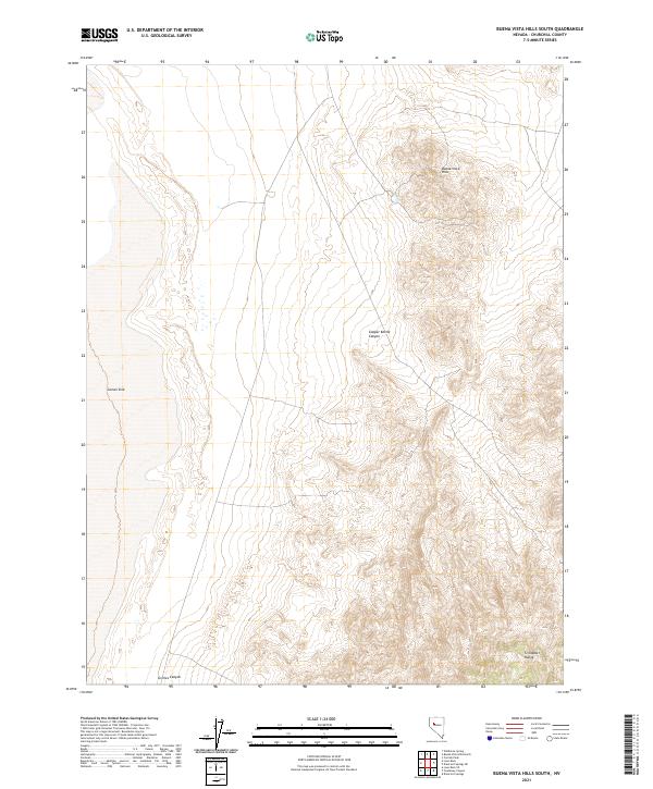
1990 Buena Vista Hills South
Churchill County, NV
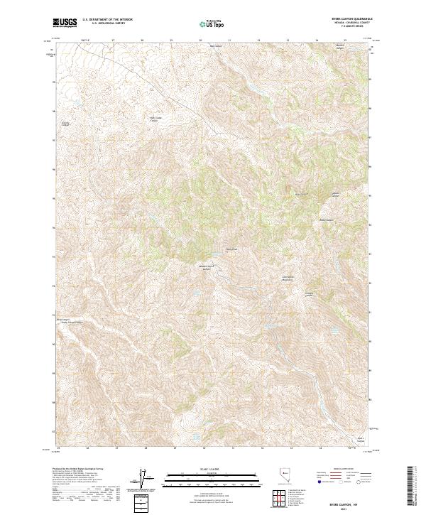
1990 Byers Canyon
Churchill County, NV
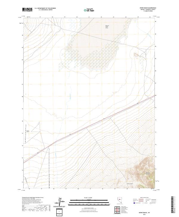
1990 Byers Ranch
Churchill County, NV
1990 Clan Alpine Ranch
Churchill County, NV
1990 Cow Canyon
Churchill County, NV
1990 Dixie Hot Springs
Churchill County, NV
1990 Dixie Hot Springs NE
Churchill County, NV
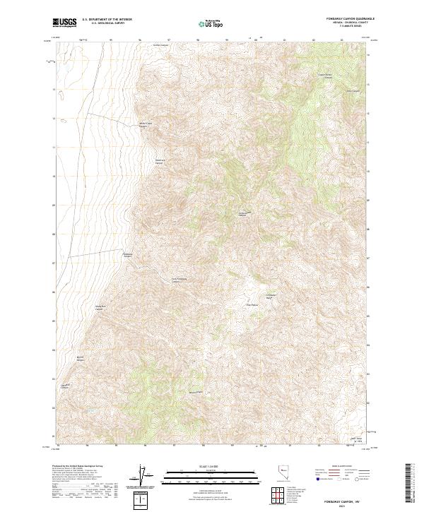
1990 Fondaway Canyon
Churchill County, NV
1990 Hole In The Wall
Churchill County, NV
1990 Humboldt Salt Marsh
Churchill County, NV
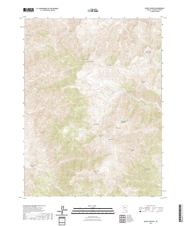
1990 Mt. Augusta
Churchill County, NV
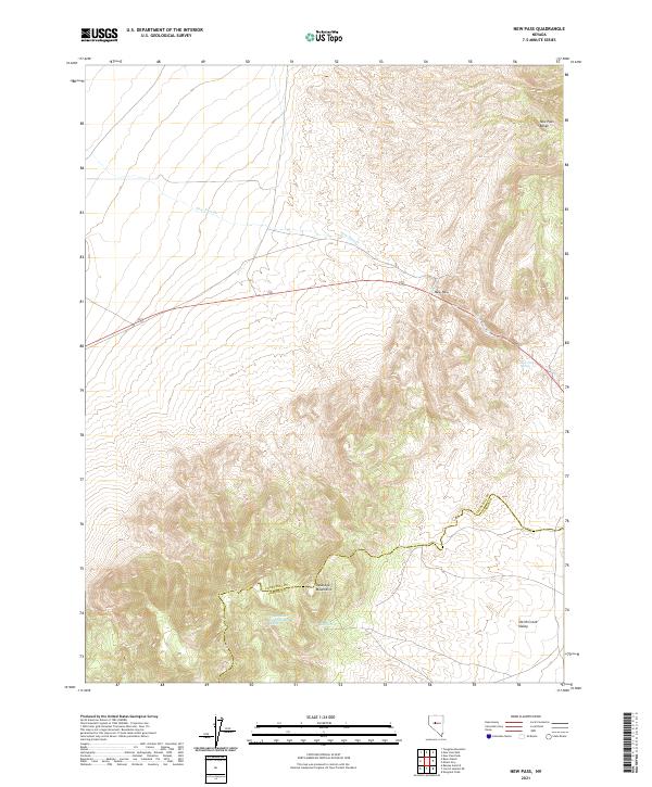
1990 New Pass
Churchill County, NV
1990 New Pass Well
Churchill County, NV
1990 Shoshone Meadows
Churchill County, NV
1990 Shoshone Meadows NE
Churchill County, NV
1990 Shoshone Meadows SE
Churchill County, NV
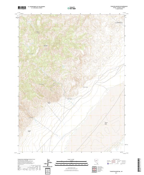
1990 Tungsten Mtn.
Churchill County, NV
2011 Allen Springs
Churchill County, NV
2011 Basque Summit
Churchill County, NV
2011 Battleground Point
Churchill County, NV
2011 Bell Canyon
Churchill County, NV
2011 Bell Mountain
Churchill County, NV
2011 Bernice Canyon
Churchill County, NV
2011 Black Warrior Peak
Churchill County, NV
2011 Bolivia
Churchill County, NV
2011 Boyer Ranch
Churchill County, NV
2011 Buena Vista Hills South
Churchill County, NV
2011 Buffalo Summit
Churchill County, NV
2011 Bunejug Mountains
Churchill County, NV
2011 Byers Canyon
Churchill County, NV
2011 Byers Ranch
Churchill County, NV
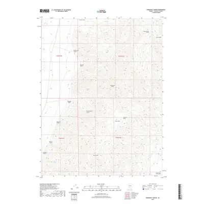
2011 Camp Creek Canyon
Churchill County, NV
2011 Carson Lake
Churchill County, NV
2011 Carson Sink SE
Churchill County, NV
2011 Carson Sink SW
Churchill County, NV
2011 Chukar Canyon
Churchill County, NV
2011 Clan Alpine Ranch
Churchill County, NV
2011 Cow Canyon
Churchill County, NV
2011 Cox Canyon
Churchill County, NV
2011 Desert Peak
Churchill County, NV
2011 Diamond Canyon
Churchill County, NV
2011 Diamond Field Jack Wash
Churchill County, NV
2011 Dixie Hot Springs
Churchill County, NV
2011 Dixie Hot Springs NE
Churchill County, NV
2011 Dixie Valley
Churchill County, NV
2011 Dixie Valley SE
Churchill County, NV
2011 Drumm Summit
Churchill County, NV
2011 Eagle Rock
Churchill County, NV
2011 Eastgate
Churchill County, NV
2011 Fondaway Canyon
Churchill County, NV
2011 Fourmile Canyon
Churchill County, NV
2011 Fourmile Flat
Churchill County, NV
2011 Foxtail Lake
Churchill County, NV
2011 Frenchman
Churchill County, NV
2011 Grimes Point
Churchill County, NV
2011 Hazen
Churchill County, NV
2011 Hole In The Wall
Churchill County, NV
2011 Hot Springs Flat
Churchill County, NV
2011 Humboldt Salt Marsh
Churchill County, NV
2011 Indian Lakes
Churchill County, NV
2011 I X L Canyon
Churchill County, NV
2011 Jessup
Churchill County, NV
2011 Job Peak
Churchill County, NV
2011 Lahontan Dam
Churchill County, NV
2011 Lahontan Mountains
Churchill County, NV
2011 La Plata Canyon
Churchill County, NV
2011 Lone Rock
Churchill County, NV
2011 Lone Rock NW
Churchill County, NV

2011 Lone Rock SE
Churchill County, NV
2011 Lone Rock SW
Churchill County, NV
2011 Lovelock Indian Caves
Churchill County, NV
2011 Mount Augusta
Churchill County, NV
2011 New Pass
Churchill County, NV
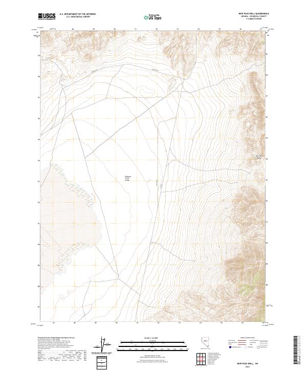
2011 New Pass Well
Churchill County, NV
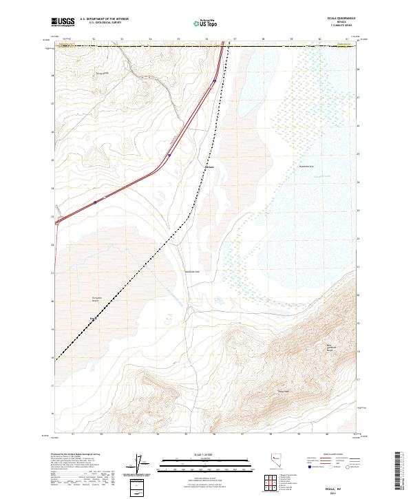
2011 Ocala
Churchill County, NV
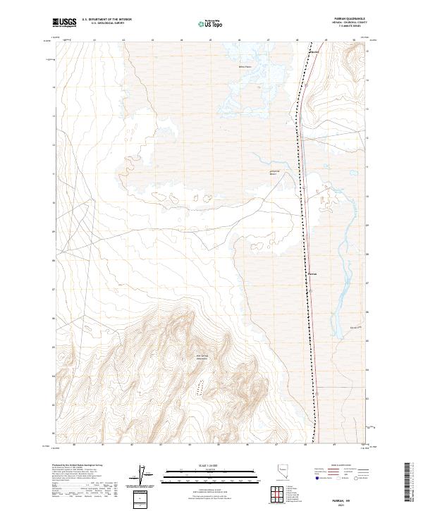
2011 Parran
Churchill County, NV
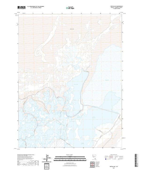
2011 Pintail Bay
Churchill County, NV
2011 Pirouette Mountain
Churchill County, NV
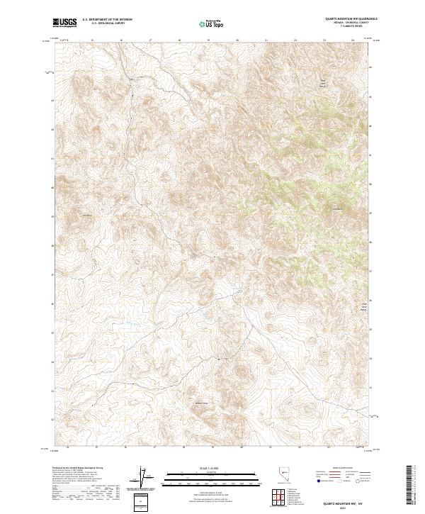
2011 Quartz Mountain NW
Churchill County, NV
2011 Russell Spit
Churchill County, NV
2011 Salt Cave
Churchill County, NV
2011 Sheckler Reservoir
Churchill County, NV
2011 Shoshone Meadows
Churchill County, NV
2011 Shoshone Meadows NE
Churchill County, NV
2011 Shoshone Meadows SE
Churchill County, NV
2011 Soda Lake East
Churchill County, NV
2011 Soda Lake NW
Churchill County, NV
2011 Soda Lake West
Churchill County, NV
2011 South of Fallon
Churchill County, NV
2011 Stillwater
Churchill County, NV
2011 Stillwater NE
Churchill County, NV
2011 Table Mountain
Churchill County, NV
2011 Telephone Well
Churchill County, NV
2011 Tungsten Mountain
Churchill County, NV
2011 Upsal Hogback
Churchill County, NV
2011 West Gate
Churchill County, NV
2011 White Plains
Churchill County, NV
2011 Wonder Mountain
Churchill County, NV
2012 Cold Springs
Churchill County, NV
2012 Desatoya Peak
Churchill County, NV
2014 Allen Springs
Churchill County, NV
2014 Basque Summit
Churchill County, NV
2014 Battleground Point
Churchill County, NV
2014 Bell Canyon
Churchill County, NV
2014 Bell Mountain
Churchill County, NV
2014 Bernice Canyon
Churchill County, NV
2014 Black Warrior Peak
Churchill County, NV
2014 Bolivia
Churchill County, NV
2014 Boyer Ranch
Churchill County, NV
2014 Buena Vista Hills South
Churchill County, NV
2014 Bunejug Mountains
Churchill County, NV
2014 Byers Canyon
Churchill County, NV
2014 Byers Ranch
Churchill County, NV
2014 Camp Creek Canyon
Churchill County, NV
2014 Carson Lake
Churchill County, NV
2014 Carson Sink SE
Churchill County, NV
2014 Carson Sink SW
Churchill County, NV
2014 Cold Springs
Churchill County, NV
2014 Cow Canyon
Churchill County, NV
2014 Cox Canyon
Churchill County, NV
2014 Desatoya Peak
Churchill County, NV
2014 Desert Peak
Churchill County, NV
2014 Diamond Canyon
Churchill County, NV
2014 Diamond Field Jack Wash
Churchill County, NV
2014 Dixie Hot Springs NE
Churchill County, NV
2014 Dixie Valley
Churchill County, NV
2014 Dixie Valley SE
Churchill County, NV
2014 Drumm Summit
Churchill County, NV
2014 Eagle Rock
Churchill County, NV
2014 Eastgate
Churchill County, NV
2014 Fondaway Canyon
Churchill County, NV
2014 Fourmile Canyon
Churchill County, NV
2014 Fourmile Flat
Churchill County, NV
2014 Frenchman
Churchill County, NV
2014 Grimes Point
Churchill County, NV
2014 Hazen
Churchill County, NV
2014 Hole In The Wall
Churchill County, NV
2014 Hot Springs Flat
Churchill County, NV
2014 Humboldt Salt Marsh
Churchill County, NV
2014 Indian Lakes
Churchill County, NV
2014 I X L Canyon
Churchill County, NV
2014 Jessup
Churchill County, NV
2014 Lahontan Mountains
Churchill County, NV
2014 La Plata Canyon
Churchill County, NV
2014 Lone Rock
Churchill County, NV
2014 Lone Rock NW
Churchill County, NV
2014 Lone Rock SE
Churchill County, NV
2014 Lone Rock SW
Churchill County, NV
2014 Lovelock Indian Caves
Churchill County, NV
2014 Mount Augusta
Churchill County, NV
2014 New Pass
Churchill County, NV
2014 New Pass Well
Churchill County, NV
2014 Parran
Churchill County, NV
2014 Pintail Bay
Churchill County, NV
2014 Pirouette Mountain
Churchill County, NV
2014 Quartz Mountain NW
Churchill County, NV
2014 Salt Cave
Churchill County, NV
2014 Sheckler Reservoir
Churchill County, NV
2014 Shoshone Meadows
Churchill County, NV
2014 Shoshone Meadows NE
Churchill County, NV
2014 Shoshone Meadows SE
Churchill County, NV
2014 Soda Lake East
Churchill County, NV
2014 Soda Lake NW
Churchill County, NV
2014 Soda Lake West
Churchill County, NV
2014 South of Fallon
Churchill County, NV
2014 Stillwater NE
Churchill County, NV
2014 Table Mountain
Churchill County, NV
2014 Telephone Well
Churchill County, NV
2014 Tungsten Mountain
Churchill County, NV
2014 Upsal Hogback
Churchill County, NV
2014 West Gate
Churchill County, NV
2014 White Plains
Churchill County, NV
2014 Wonder Mountain
Churchill County, NV
2015 Buffalo Summit
Churchill County, NV
2015 Chukar Canyon
Churchill County, NV
2015 Clan Alpine Ranch
Churchill County, NV
2015 Dixie Hot Springs
Churchill County, NV
2015 Foxtail Lake
Churchill County, NV
2015 Job Peak
Churchill County, NV
2015 Lahontan Dam
Churchill County, NV
2015 Ocala
Churchill County, NV
2015 Russell Spit
Churchill County, NV
2015 Stillwater
Churchill County, NV
2018 Allen Springs
Churchill County, NV
2018 Basque Summit
Churchill County, NV
2018 Battleground Point
Churchill County, NV
2018 Bell Canyon
Churchill County, NV
2018 Bell Mountain
Churchill County, NV
2018 Bernice Canyon
Churchill County, NV
2018 Black Warrior Peak
Churchill County, NV
2018 Bolivia
Churchill County, NV
2018 Boyer Ranch
Churchill County, NV
2018 Buena Vista Hills South
Churchill County, NV
2018 Buffalo Summit
Churchill County, NV
2018 Bunejug Mountains
Churchill County, NV
2018 Byers Canyon
Churchill County, NV
2018 Byers Ranch
Churchill County, NV
2018 Camp Creek Canyon
Churchill County, NV
2018 Carson Lake
Churchill County, NV
2018 Carson Sink SE
Churchill County, NV
2018 Carson Sink SW
Churchill County, NV
2018 Chukar Canyon
Churchill County, NV
2018 Clan Alpine Ranch
Churchill County, NV
2018 Cold Springs
Churchill County, NV
2018 Cow Canyon
Churchill County, NV
2018 Cox Canyon
Churchill County, NV
2018 Desatoya Peak
Churchill County, NV
2018 Desert Peak
Churchill County, NV
2018 Diamond Canyon
Churchill County, NV
2018 Diamond Field Jack Wash
Churchill County, NV
2018 Dixie Hot Springs
Churchill County, NV
2018 Dixie Hot Springs NE
Churchill County, NV
2018 Dixie Valley
Churchill County, NV
2018 Dixie Valley SE
Churchill County, NV
2018 Drumm Summit
Churchill County, NV
2018 Eagle Rock
Churchill County, NV
2018 Eastgate
Churchill County, NV
2018 Fondaway Canyon
Churchill County, NV
2018 Fourmile Canyon
Churchill County, NV
2018 Fourmile Flat
Churchill County, NV
2018 Foxtail Lake
Churchill County, NV
2018 Frenchman
Churchill County, NV
2018 Grimes Point
Churchill County, NV
2018 Hazen
Churchill County, NV
2018 Hole In The Wall
Churchill County, NV
2018 Hot Springs Flat
Churchill County, NV
2018 Humboldt Salt Marsh
Churchill County, NV
2018 Indian Lakes
Churchill County, NV
2018 I X L Canyon
Churchill County, NV
2018 Jessup
Churchill County, NV
2018 Job Peak
Churchill County, NV
2018 Lahontan Dam
Churchill County, NV
2018 Lahontan Mountains
Churchill County, NV
2018 La Plata Canyon
Churchill County, NV
2018 Lone Rock
Churchill County, NV
2018 Lone Rock NW
Churchill County, NV
2018 Lone Rock SE
Churchill County, NV
2018 Lone Rock SW
Churchill County, NV
2018 Lovelock Indian Caves
Churchill County, NV
2018 Mount Augusta
Churchill County, NV
2018 New Pass
Churchill County, NV
2018 New Pass Well
Churchill County, NV
2018 Ocala
Churchill County, NV
2018 Parran
Churchill County, NV
2018 Pintail Bay
Churchill County, NV
2018 Pirouette Mountain
Churchill County, NV
2018 Quartz Mountain NW
Churchill County, NV
2018 Russell Spit
Churchill County, NV
2018 Salt Cave
Churchill County, NV
2018 Sheckler Reservoir
Churchill County, NV
2018 Shoshone Meadows
Churchill County, NV
2018 Shoshone Meadows NE
Churchill County, NV
2018 Shoshone Meadows SE
Churchill County, NV
2018 Soda Lake East
Churchill County, NV
2018 Soda Lake NW
Churchill County, NV
2018 Soda Lake West
Churchill County, NV
2018 South of Fallon
Churchill County, NV
2018 Stillwater
Churchill County, NV
2018 Stillwater NE
Churchill County, NV
2018 Table Mountain
Churchill County, NV
2018 Telephone Well
Churchill County, NV
2018 Tungsten Mountain
Churchill County, NV
2018 Upsal Hogback
Churchill County, NV
2018 West Gate
Churchill County, NV
2018 White Plains
Churchill County, NV
2018 Wonder Mountain
Churchill County, NV
2021 Allen Springs
Churchill County, NV
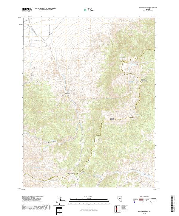
2021 Basque Summit
Churchill County, NV
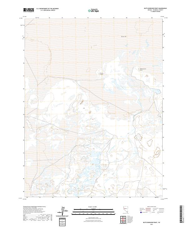
2021 Battleground Point
Churchill County, NV
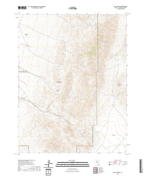
2021 Bell Canyon
Churchill County, NV
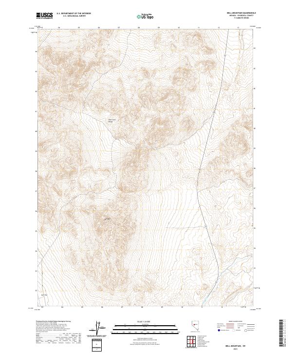
2021 Bell Mountain
Churchill County, NV
2021 Bernice Canyon
Churchill County, NV
2021 Black Warrior Peak
Churchill County, NV
2021 Bolivia
Churchill County, NV
2021 Boyer Ranch
Churchill County, NV
2021 Buena Vista Hills South
Churchill County, NV
2021 Buffalo Summit
Churchill County, NV
2021 Bunejug Mountains
Churchill County, NV
2021 Byers Canyon
Churchill County, NV
2021 Byers Ranch
Churchill County, NV
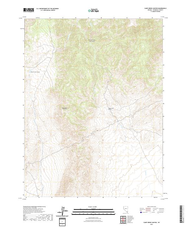
2021 Camp Creek Canyon
Churchill County, NV
2021 Carson Lake
Churchill County, NV
2021 Carson Sink SE
Churchill County, NV
2021 Carson Sink SW
Churchill County, NV
2021 Chukar Canyon
Churchill County, NV

2021 Clan Alpine Ranch
Churchill County, NV
2021 Cold Springs
Churchill County, NV
2021 Cow Canyon
Churchill County, NV
2021 Cox Canyon
Churchill County, NV
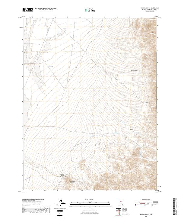
2021 Desatoya Peak
Churchill County, NV
2021 Desert Peak
Churchill County, NV
2021 Diamond Canyon
Churchill County, NV
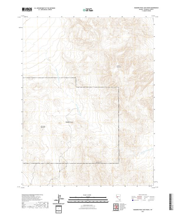
2021 Diamond Field Jack Wash
Churchill County, NV
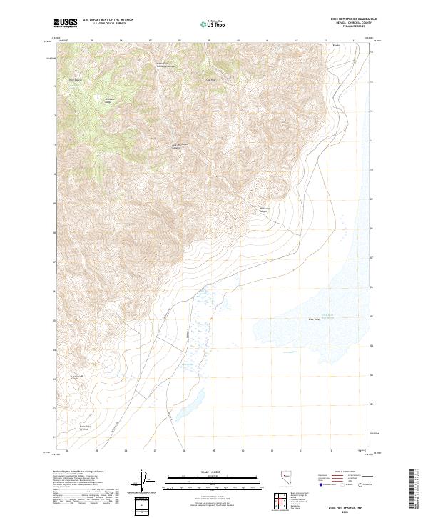
2021 Dixie Hot Springs
Churchill County, NV
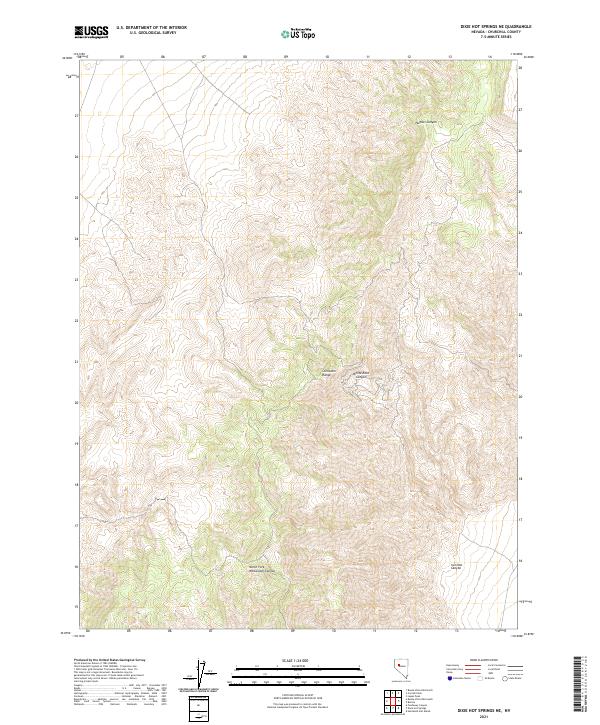
2021 Dixie Hot Springs NE
Churchill County, NV
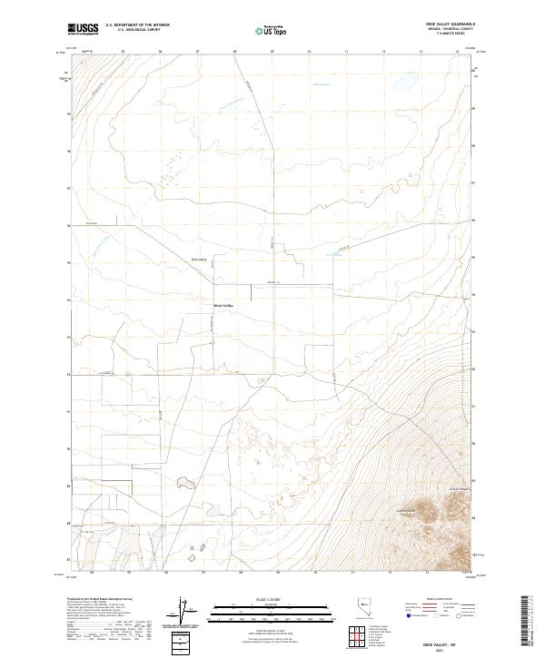
2021 Dixie Valley
Churchill County, NV
2021 Dixie Valley SE
Churchill County, NV
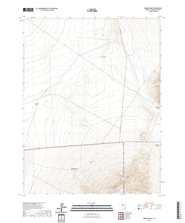
2021 Drumm Summit
Churchill County, NV
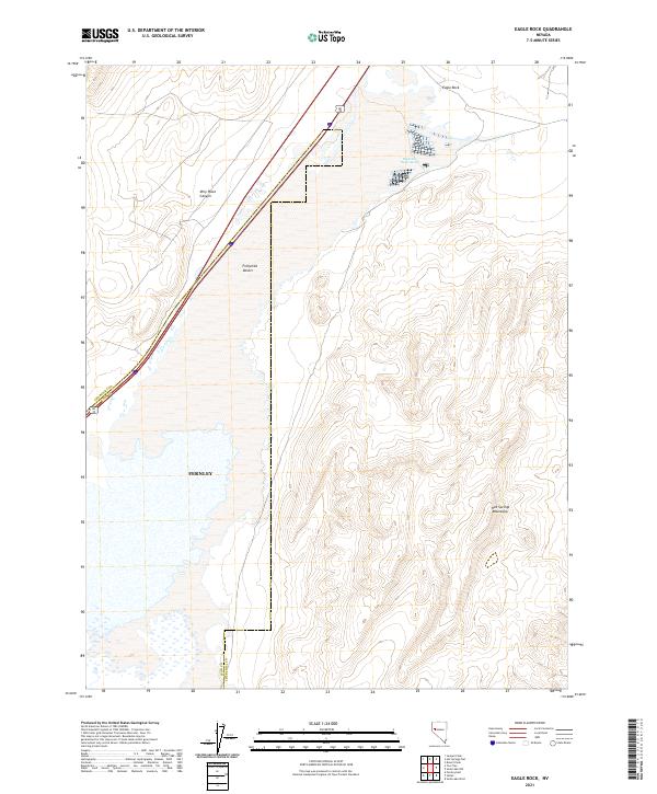
2021 Eagle Rock
Churchill County, NV
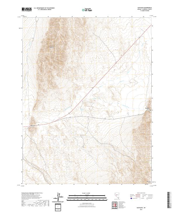
2021 Eastgate
Churchill County, NV
2021 Fondaway Canyon
Churchill County, NV
2021 Fourmile Canyon
Churchill County, NV
2021 Fourmile Flat
Churchill County, NV
2021 Foxtail Lake
Churchill County, NV
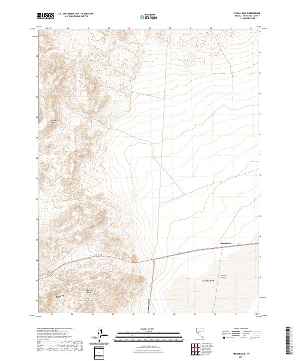
2021 Frenchman
Churchill County, NV
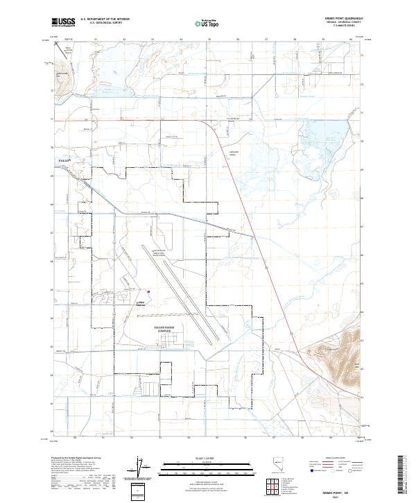
2021 Grimes Point
Churchill County, NV
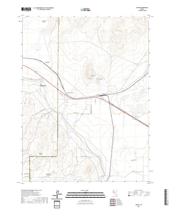
2021 Hazen
Churchill County, NV
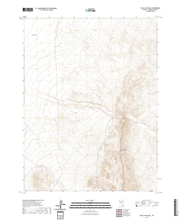
2021 Hole In The Wall
Churchill County, NV
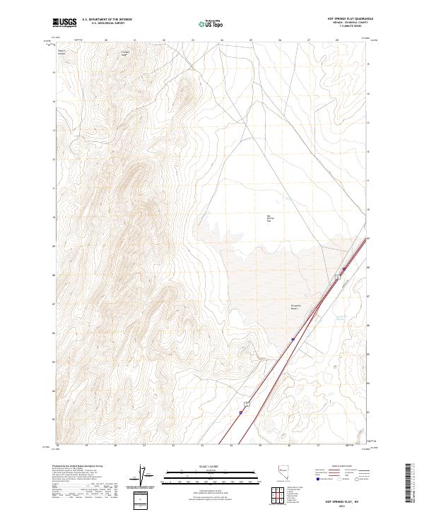
2021 Hot Springs Flat
Churchill County, NV
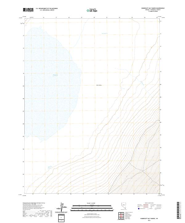
2021 Humboldt Salt Marsh
Churchill County, NV
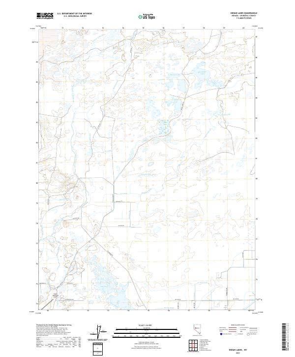
2021 Indian Lakes
Churchill County, NV
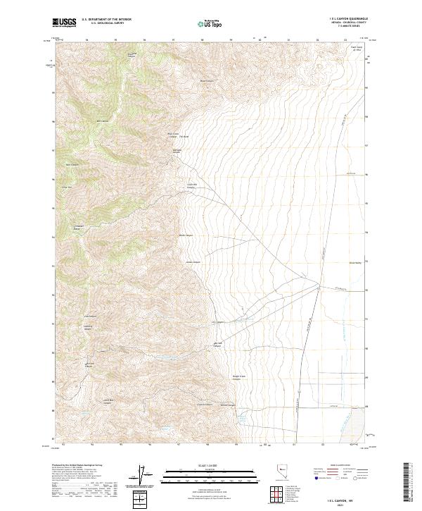
2021 I X L Canyon
Churchill County, NV
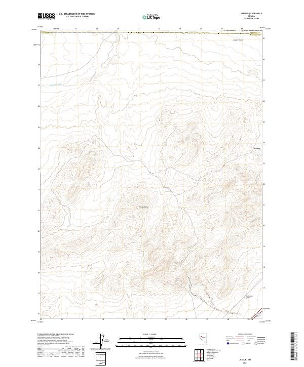
2021 Jessup
Churchill County, NV
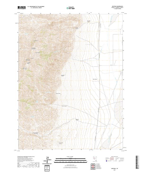
2021 Job Peak
Churchill County, NV
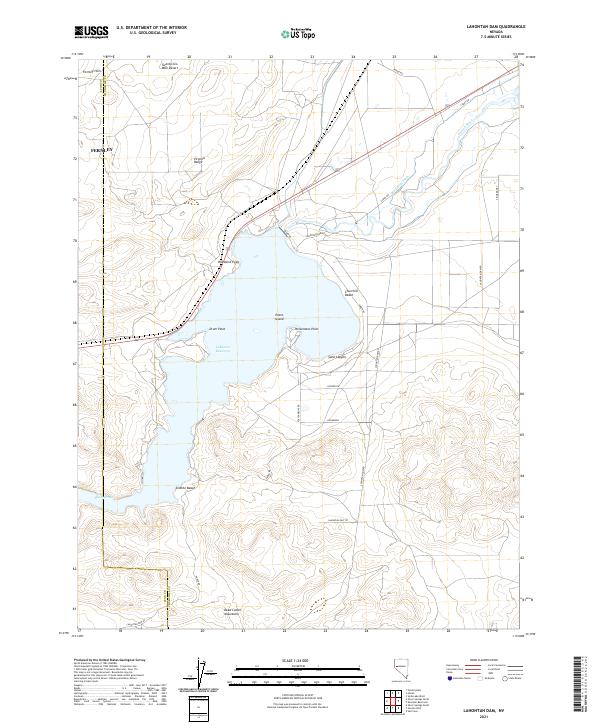
2021 Lahontan Dam
Churchill County, NV
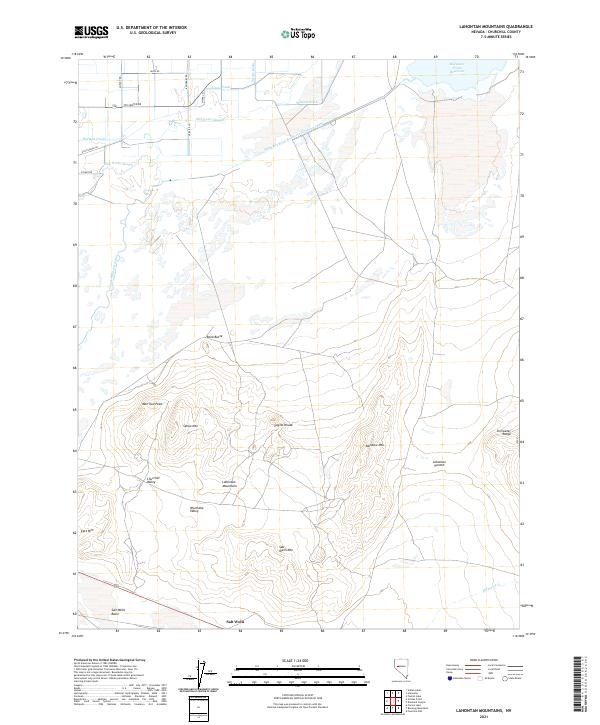
2021 Lahontan Mountains
Churchill County, NV
2021 La Plata Canyon
Churchill County, NV
2021 Lone Rock
Churchill County, NV
2021 Lone Rock NW
Churchill County, NV
2021 Lone Rock SE
Churchill County, NV
2021 Lone Rock SW
Churchill County, NV
2021 Lovelock Indian Caves
Churchill County, NV
2021 Mount Augusta
Churchill County, NV
2021 New Pass
Churchill County, NV
2021 New Pass Well
Churchill County, NV
2021 Ocala
Churchill County, NV
2021 Parran
Churchill County, NV
2021 Pintail Bay
Churchill County, NV
2021 Pirouette Mountain
Churchill County, NV
2021 Quartz Mountain NW
Churchill County, NV
2021 Russell Spit
Churchill County, NV
2021 Salt Cave
Churchill County, NV
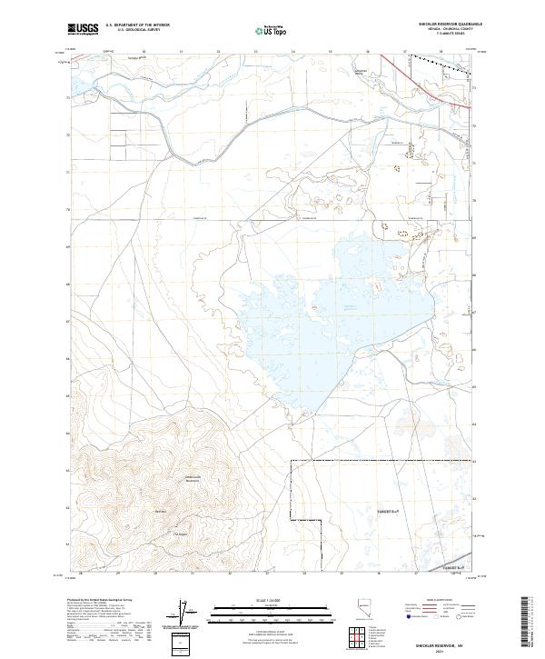
2021 Sheckler Reservoir
Churchill County, NV
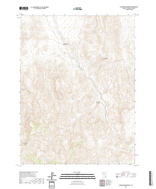
2021 Shoshone Meadows
Churchill County, NV
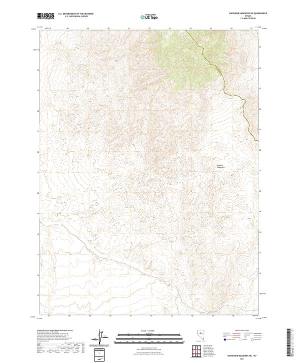
2021 Shoshone Meadows NE
Churchill County, NV
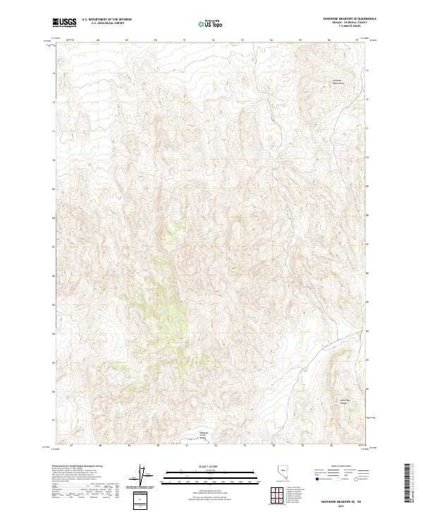
2021 Shoshone Meadows SE
Churchill County, NV
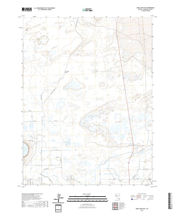
2021 Soda Lake East
Churchill County, NV
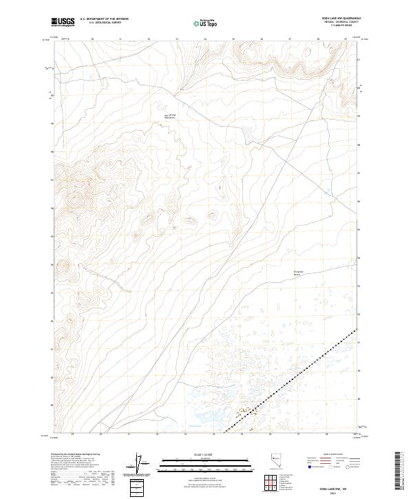
2021 Soda Lake NW
Churchill County, NV
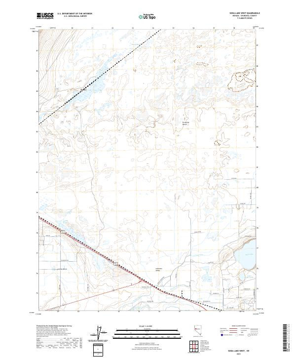
2021 Soda Lake West
Churchill County, NV
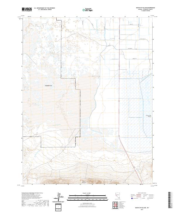
2021 South of Fallon
Churchill County, NV
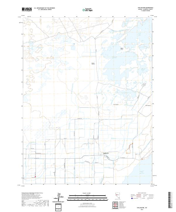
2021 Stillwater
Churchill County, NV
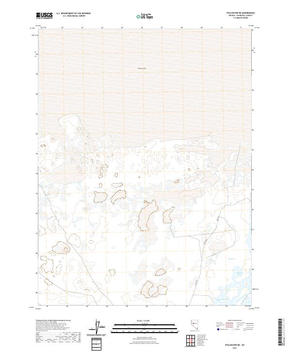
2021 Stillwater NE
Churchill County, NV
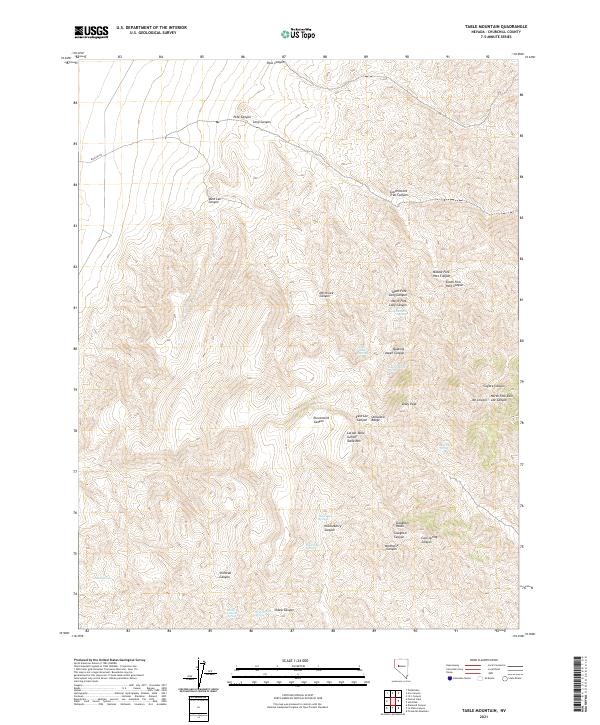
2021 Table Mountain
Churchill County, NV
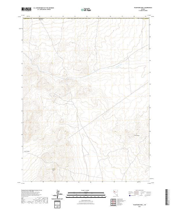
2021 Telephone Well
Churchill County, NV
2021 Tungsten Mountain
Churchill County, NV
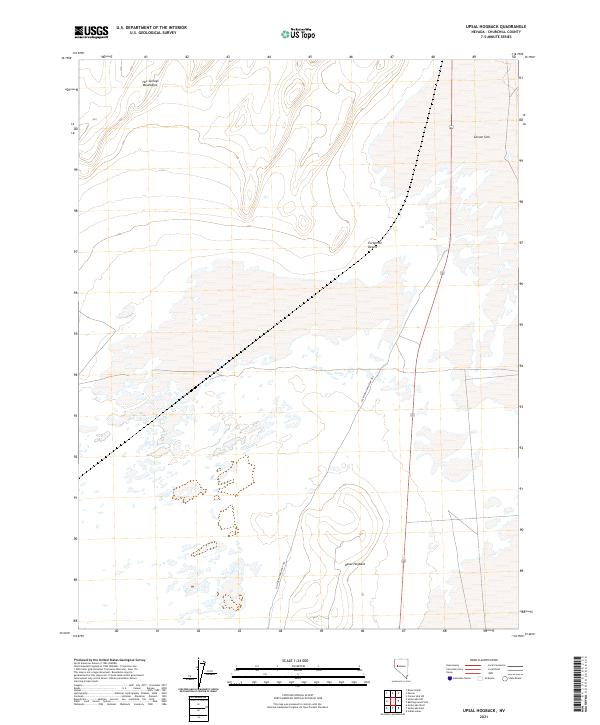
2021 Upsal Hogback
Churchill County, NV
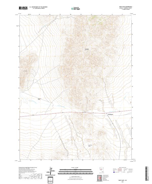
2021 West Gate
Churchill County, NV
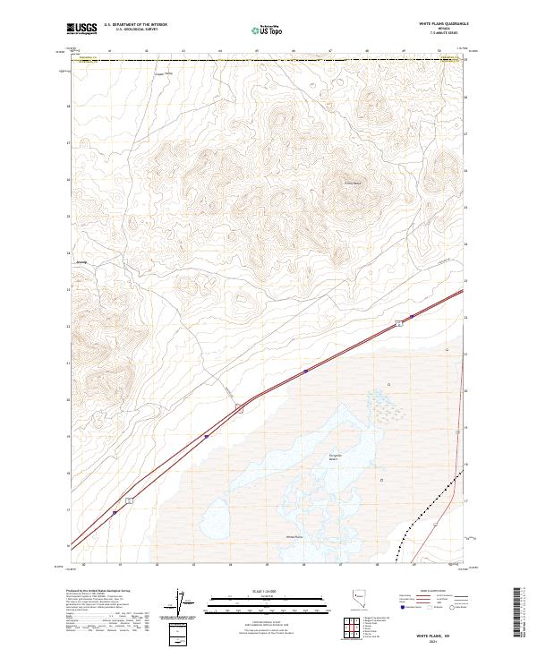
2021 White Plains
Churchill County, NV
2021 Wonder Mountain
Churchill County, NV